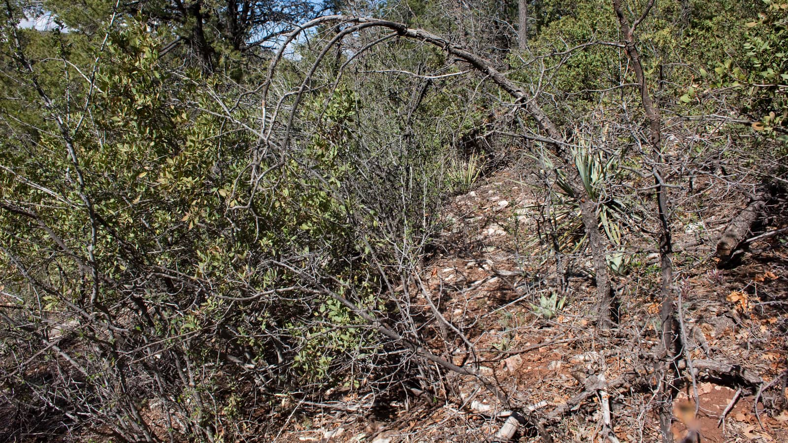
Jerome sits at 5,066 feet on Cleopatra Hill — already higher than most Arizona towns — but the best hiking in the area starts above it. The Mingus Mountain Recreation Area reaches 7,815 feet, Woodchute Wilderness begins at 6,900 feet, and the Verde Valley floor at 3,300 feet offers riparian trail options that feel entirely different from the forested ridgelines above. This guide covers every trail zone within reasonable range of Jerome, with real data on distances, elevation gains, trailhead access, and what actually makes each one worth your time.
One important context note: Jerome itself has no maintained hiking trails. The town occupies a narrow cliff face with steep, unmanaged hillside terrain. Jerome State Historic Park has a 0.5-mile paved loop around the Douglas Mansion, which provides Verde Valley views but is not a hike. For actual trails, you need to drive 8–30 miles from town. The Jerome things to do guide covers in-town walking and attraction options separately.
Mingus Mountain Recreation Area
The Mingus Mountain Recreation Area is managed by Prescott National Forest and occupies the high ridgeline directly above Jerome on AZ-89A. Elevation at the recreation area ranges from approximately 6,500 feet at the lower trailheads to 7,815 feet near Mingus Lake at the summit plateau. The area is approximately 8–12 miles from Jerome via AZ-89A heading toward Prescott — the same switchback road that most visitors use to reach Jerome from Prescott.
The primary Mingus Mountain Loop circles the high plateau including the Mingus Lake overlook and summit ridge. Views extend south over Jerome and the Verde Valley and north toward Prescott and the Bradshaw Mountains. The trail is well-marked with cairns. The upper sections near the summit can be muddy after rain or snow — the area receives 20–25 inches of precipitation annually, far more than Phoenix (8 inches) or Jerome itself. Best hiked May through October; snow and ice possible November through March.
A shorter out-and-back to the main Mingus summit overlook — good for visitors who want the views without the full loop commitment. The summit at 7,815 feet delivers the best overhead perspective of Jerome on Cleopatra Hill below, with the Verde Valley and Sedona red rocks visible on clear days. This trail accesses the same ridge as the loop but is faster and lower commitment. Dogs allowed on leash.
Woodchute Wilderness
Woodchute Wilderness is a 5,900-acre designated wilderness area on the Prescott National Forest, centered on Woodchute Mountain at approximately 7,834 feet. The area is located 8 miles from Jerome via AZ-89A and then FR 106 (Forest Road 106) — a dirt road that requires high-clearance vehicles after rain or in wet seasons. This is the best overall hiking destination for Jerome visitors who want a true backcountry experience.
Woodchute Trail is the standout hike in the Jerome area. The trail winds through ponderosa pine and pinyon-juniper forest before opening onto a bald ridge with 360-degree views: Jerome and the Verde Valley to the southwest, the San Francisco Peaks (Humphreys Peak, 12,633 ft) to the north near Flagstaff, Sedona's red rock formations to the east on clear days, and the Bradshaw Mountains to the south. The wilderness designation means no mechanized vehicles — expect solitude even on weekends. Allow 3–4 hours for the round-trip including time at the summit. Start early in summer as the exposed ridge provides no shade.
Verde Valley Floor Trails
The Verde Valley floor at approximately 3,300 feet offers a completely different hiking experience from the Mingus ridgeline — riparian vegetation, cottonwood-lined creek corridors, and red rock formations that preview the Sedona geology to the east. These trails are accessible year-round and ideal when Mingus-area trails are icy or snow-covered.
Dead Horse Ranch State Park in Cottonwood sits along the Verde River and offers flat, well-maintained trails through cottonwood and willow forest along the river corridor. The Lagoon Trail (2.1 miles) and River Trail (1.5 miles) are the primary routes. Birding is exceptional — 130+ species documented. Trail surface is packed gravel and dirt, accessible to most fitness levels. The Verde River is seasonally accessible for swimming from May through September. Parking is ample; no reservation required for day use.
Tuzigoot is a 110-room Sinagua pueblo ruin on a limestone ridge above the Verde River, occupied from approximately 1100–1400 AD. The monument trail is a paved 0.5-mile loop to the pueblo top — accessible to most visitors including those with mobility limitations. The views over the Verde River marsh from the pueblo ruins are dramatic. This is less a hike and more a historic walk, but the setting is spectacular and it pairs naturally with a Jerome visit. See the full Tuzigoot guide for hours and advance ticket information.
Sycamore Canyon Wilderness
Sycamore Canyon is one of Arizona's largest and most scenic wilderness areas, located approximately 25 miles from Jerome via AZ-89A south through Cottonwood and then west on FR 131. The canyon is a 21-mile long sandstone gorge with walls reaching 2,000 feet — sometimes called "the other Grand Canyon" by hiking regulars. It is a full commitment from Jerome: the trailhead at Parsons Spring requires the last 11 miles of FR 131, which is a dirt road requiring high-clearance and, after rain, 4WD.
The Parsons Trail follows Sycamore Creek through the lower canyon — there are approximately 12 creek crossings depending on water levels (bring poles for spring high-water). The canyon walls are Supai sandstone in shades of red, orange, and cream. The terminus at Parsons Spring is a lush riparian zone with cottonwoods and willows fed by a natural spring. This is a full half-day to full-day hike from Jerome. Summer (June–August) is not recommended — the canyon floor traps heat and daytime temperatures regularly exceed 100°F even when Jerome is 75°F. Check FR 131 road conditions before driving.
Book Guided Hiking Near Jerome via Viator
Guided hiking tours in the Verde Valley and Sedona area start at $45–85/person and include transportation, trail expertise, and gear. Useful if you don't have a high-clearance vehicle for FR 106 (Woodchute) or FR 131 (Sycamore Canyon). Most Jerome-area guided tours depart from Sedona or Cottonwood — confirm pickup location when booking.
Browse Verde Valley Hiking Tours on Viator Affiliate link — we may earn a commission at no cost to you.Seasonal Guide: When to Hike What
Parking & Trailhead Reality Check
Jerome's in-town parking is notoriously constrained — 200–300 spaces for 3,000+ daily peak-season visitors. If you plan to hike from a Jerome base, the logistics favor driving to the trailhead directly from wherever you're staying (Cottonwood or Jerome) rather than parking in town and attempting to walk to a trailhead. There are no hiking trailheads within walking distance of Jerome's Main Street.
For Mingus Mountain trails, park at the day-use area near Mingus Mountain Campground (Mile Marker 318 on AZ-89A). $4/vehicle day-use fee, or America the Beautiful annual pass. Limited spots — arrive before 8 AM on weekends in fall peak season. No water at trailhead; nearest water is in Jerome or the campground (campground water available May–October only).
For Woodchute Trail, the FR 106 trailhead has a small dirt parking pullout — capacity approximately 6–8 vehicles. No fee, no facilities. The dirt road can be impassable after heavy rain even in a high-clearance vehicle. Do not attempt in a passenger car if there's been rain in the past 24 hours.
The Lowdown Verdict
Match your hike to your situation:
Combine Hiking with Jerome
The ideal Jerome hiking day: drive up to Woodchute or Mingus early (before 8 AM), hike 3–4 hours, return to Jerome by noon before the day-visitor crowds peak, and spend the afternoon in Jerome's historic district, Caduceus Cellars, and the Jerome restaurant strip. For active travelers based in Sedona, the Sedona hiking guide covers the extensive trail network east of the Verde Valley — a natural extension of a multi-day Jerome visit.