Hiking Alongside a Boating Town
Most visitors come to Lake Havasu for the water, but the desert around the lake has its own trail network worth a day of a trip, especially outside of the hottest summer stretch. The terrain here is open, rocky, and largely shadeless, so the trails reward planning around temperature more than they demand technical skill.
This guide covers the established trails near town plus the basic heat-safety rules that matter more here than the mileage does.
SARA Park and the SARA Crack Slot Canyon
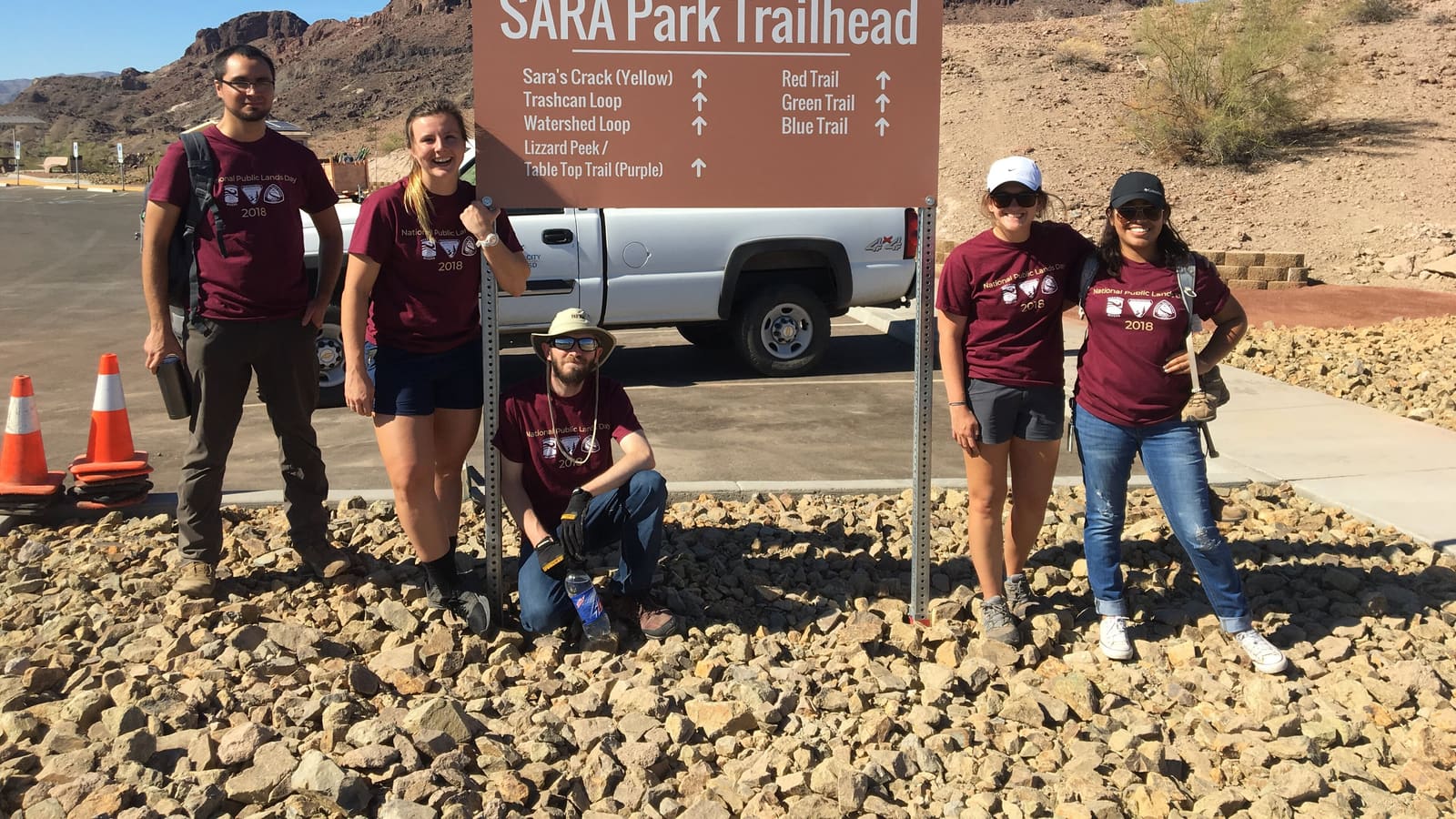
SARA Park -- the acronym stands for Special Activities and Recreation Area -- is the main trailhead area for hiking near Lake Havasu City. It is a county-leased, 1,100-acre regional park run by Lake Havasu City Parks and Recreation, about five miles south of town at 7260 S. SARA Park Way, and it holds ballfields, a motocross course, a shooting range and a dog park alongside the trails.
Its best-known route is the SARA Crack, which the city lists on its own park page as the Crack in the Wall Trail, a five-mile round trip through one of the most famous slot canyons on the Lower Colorado, ending at Balance Rock Cove on the lakeshore. That distance matters more than it sounds: user-submitted trail apps circulate shorter figures, and a hiker who packs water for a two-mile scramble and gets a five-mile one in this heat is in real trouble. Plan on the city's five-mile figure, and confirm at the trailhead before you start. The route involves narrow rock passages, boulder scrambling and a roped descent, so it suits hikers comfortable with uneven footing rather than a flat stroll.
Do not enter the slot canyon during or after rain, or when rain is anywhere in the forecast. A slot canyon is a drainage: it funnels water from storms falling miles upstream, out of your sight, and there is no way out of the narrows once water is moving. Arizona's monsoon season runs June 15 through September 30, and flash flooding is the National Weather Service's top-listed threat in this region during it. Trail markings and access points can also shift over time, so check a current park map or trailhead sign before setting out, and go early enough to be off the rock before the day heats up. SARA Park questions go to Lake Havasu City Parks and Recreation at 928-453-8686.
Shoreline and Riviera-Area Walking Trails
Beyond SARA Park, the easiest published walking route in the area is the Mohave Sunset Trail inside Lake Havasu State Park, which Arizona State Parks lists at 1.75 miles and rates easy, winding through lowland desert and along the shoreline. It is pedestrians-only -- no bicycles -- and leashed pets are welcome, which makes it the realistic flat-shoreline alternative to the slot-canyon scramble. Lake Havasu City also maintains short walking paths at several in-town parks, including Rotary Community Park on Thompson Bay.
These shoreline paths also work well combined with the lighthouse trail described in our things-to-do guide, since both are shore-adjacent and can be strung together into a longer walk.
One clarification worth making, because it circulates as a hiking destination: Havasu Riviera is a marina development, not a trail network. Arizona State Parks describes it as a boat launch, dry dock storage, a marina, a waterfront restaurant and a beach and day-use area operating as a concession of Lake Havasu State Park -- the agency does not publish hiking or walking trails there. Do not build a hiking day around it without confirming current access and status directly with Arizona State Parks.
Desert Wash and Backcountry Routes
Away from the immediate shoreline, the desert around Lake Havasu City opens into wash-bottom and backcountry terrain that draws hikers looking for more solitude than the developed trails offer. These routes are less marked and more exposed, so they are better suited to experienced desert hikers with proper navigation than a casual outing.
A wash is a flood channel, and hiking one during monsoon season is the classic fatal mistake in this landscape. The National Weather Service fixes Arizona's monsoon season at June 15 through September 30 and lists flash flooding as the biggest regional threat during it. Water arrives from storms falling miles upstream, often under blue sky where you are standing. Check the forecast before you commit to a wash route, get out of the drainage and onto high ground at the first sound of thunder or sight of building storm cloud, and never drive through flood water on the way in or out -- a foot of moving water can carry a vehicle off the road. Never let children play in washes or storm drains after rainfall.
Carry more water than you think you need, tell someone your planned route, and check current land-access rules, since some backcountry areas near the lake cross different jurisdictions -- the BLM Lake Havasu Field Office (928-505-1200) manages nearly 1.3 million acres around the lake, and Lake Havasu State Park, Cattail Cove State Park and SARA Park each answer to a different agency.
Beating the Heat: Hiking Safety in the Desert
Heat, not distance, is the real hazard on Lake Havasu trails. NOAA's 1991-2020 climate normals put the average July high in Lake Havasu City at roughly 110°F -- the average, not the record -- and there is almost no natural shade anywhere in this terrain, so a short trail can still be dangerous at the wrong hour. Starting at first light and being off the trail by mid-morning is the standard local approach. The National Weather Service's summer advice for this region is blunt and worth following literally: limit outdoor activity, drink plenty of water, and move your activity to early morning or evening. And at the trailhead itself: never leave a child or a pet in the parked car while you finish the hike -- a closed vehicle in this climate reaches lethal temperatures within minutes.
Water and turnaround discipline. Plan on roughly a liter (about 32 ounces) per person per hour of walking in summer heat, and more for children and anyone not acclimated -- then carry beyond that, because there is no water on any of these routes and none at the BLM shoreline sites either. Set a turnaround time before you start and honor it even if you have not reached the destination; on a five-mile round trip you should be turning back at the halfway point of your water, not your distance. If in doubt, turn back rather than push through.
Know the two heat illnesses, because the response differs. The National Weather Service describes heat exhaustion as heavy sweating; cool, pale, clammy skin; a fast weak pulse; muscle cramps, dizziness, nausea, headache or fainting -- get the person into shade or air conditioning, loosen clothing, apply cool wet cloths, give sips of water, and seek medical attention if they vomit or symptoms last more than an hour. Heat stroke is a life-threatening emergency: throbbing headache, confusion, slurred speech, body temperature above 103°F, hot red skin that may be dry rather than sweating, and possible loss of consciousness. Call 911 or get the person to a hospital immediately, cool them with wet cloths, and do not give fluids. Delay can be fatal.
Rattlesnakes and lightning. Rattlesnakes are active on these trails as temperatures rise; Arizona Game and Fish's advice is to back away and give the snake a wide berth rather than move it or kill it, and to keep dogs leashed. If someone is bitten, stay calm, call 911 and get to medical care without delay, remove rings and watches from the limb, and keep the limb immobilized at or below heart level. Do not ice it, do not cut it, do not use a tourniquet or constriction band, do not try to suck out the venom, and do not give alcohol -- hospital antivenom is the treatment, and the Arizona Poison and Drug Information Center is at 1-800-222-1222. For lightning: no outdoor location is safe when thunderstorms are near, so head for a substantial building or a hard-topped vehicle.
Best Season for Hiking Lake Havasu
Late fall through early spring is the most comfortable window for hiking around Lake Havasu, with daytime temperatures that make a full trail more realistic instead of a race against the heat. Summer hiking is still possible if you stick to first light and keep the distance short.
See our best time to visit guide for the fuller seasonal picture if you are building a trip around hiking specifically.