What the Preserve Is
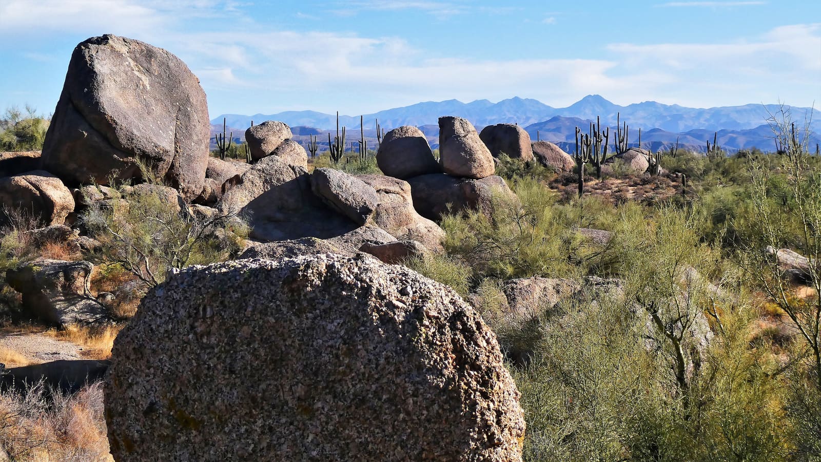
The McDowell Sonoran Preserve is a large, city-managed conservation area covering a significant portion of Scottsdale's northern boundary, protecting Sonoran Desert habitat and the McDowell Mountains from development. The City of Scottsdale puts the Preserve at more than 30,500 acres with over 230 miles of multi-use trails -- figures worth treating as a general scale marker rather than a fixed number, since the trail network continues to grow. It is managed by the City of Scottsdale in partnership with the McDowell Sonoran Conservancy, a nonprofit whose volunteer stewards support trailheads and public education programs. The Preserve's scale sets it apart from a typical city park: it connects a network of trails across multiple access points rather than functioning as a single contained trail system, so the trailhead you choose shapes the kind of hike you get.
Major Trailheads
Gateway Trailhead, on the Preserve's south side, is the busiest and most developed access point, with a visitor center, ranger presence, and a range of trail options from short desert loops to longer routes into the mountains. It works well as a starting point if you are new to the Preserve or want facilities on hand before and after a hike.
Tom's Thumb Trailhead, further north, is the access point for one of the Preserve's most recognized landmarks: a distinctive granite rock formation visible from much of the surrounding desert. The trail to Tom's Thumb is steeper and more strenuous than the desert loops near Gateway, climbing through rock terrain rather than staying on flat desert floor, and it draws hikers specifically looking for a harder route with a clear destination.
Pinnacle Peak Park, a few miles away in north Scottsdale, is a separate City of Scottsdale park rather than a Preserve trailhead -- it is not managed as part of the McDowell Sonoran Preserve, though it sits near the Preserve's northern boundary and is often visited on the same trip. Like Tom's Thumb, it is a landmark climb rather than a flat desert walk.
Because the Preserve's trail network, mileage, and access points are periodically updated and some routes close seasonally for restoration or wildlife reasons, confirm current trail status, exact distances, and open hours through the City of Scottsdale or McDowell Sonoran Conservancy websites before you go, rather than relying on secondhand figures.
Desert Hiking Basics
Sonoran Desert trails differ from hiking in cooler, forested terrain in a few important ways. Shade is scarce to nonexistent on most routes, the ground is often loose rock or gravel that requires steady footing, and terrain can change quickly from flat desert floor to rocky scrambling near peaks like Tom's Thumb. Wildlife encounters, including rattlesnakes, are a normal part of desert hiking; staying on marked trails and watching where you place your hands and feet on rocky sections reduces risk without requiring special equipment.
Trail difficulty within the Preserve varies enormously between routes, so match your choice to your fitness and experience rather than assuming all Preserve trails are comparable. A route billed as an easy desert loop near Gateway is a very different undertaking from a climb to Tom's Thumb or Pinnacle Peak.
Heat and Seasonality
Heat is the defining safety issue in the Preserve, and it is not a minor consideration. Scottsdale's summer temperatures regularly climb into a range where midday hiking becomes genuinely dangerous, and the Preserve's exposed, largely shadeless terrain offers little relief once you are on trail. The standard guidance from local land managers is to hike early morning during the warmer months, carry more water than you think you need, and avoid starting a hike if temperatures are already climbing by the time you reach the trailhead. Many hikers who are experienced elsewhere underestimate how quickly desert heat affects the body, particularly on the return leg of a hike when fatigue compounds heat stress.
Learn to tell heat exhaustion from heat stroke before you go, because they call for different responses. Heat exhaustion brings heavy sweating, dizziness, nausea, and headache -- stop, get to shade, and drink water. Heat stroke is a medical emergency: confusion or any change in mental state, hot dry or flushed skin, and a fast pulse are the warning signs. If you see those, call 911, get the person into shade and cool them by any means available, and do not give fluids by mouth if they are confused or not fully alert.
Cooler months, roughly fall through spring, offer far more flexible hiking conditions and are when the Preserve sees its heaviest visitor traffic. If your travel dates are flexible and hiking is a priority, the best time to visit Scottsdale guide can help you weigh seasonal tradeoffs across your whole trip.
Leave No Trace
The Preserve's desert ecosystem is sensitive to disturbance in ways that are not always obvious to visitors. Fragile desert soil, cacti, and native vegetation can take years to recover from off-trail foot traffic, so staying on marked trails matters more here than it might in a hardier environment. Pack out everything you bring in, give wildlife space rather than approaching for photos, and avoid touching or moving rocks and plants. The Conservancy's volunteer stewards at trailheads are a good resource if you have questions about current conditions or trail etiquette.
Planning Your Visit
If the Preserve is a priority for your trip, build in flexibility: check current trail and weather conditions the morning of your hike rather than days in advance, and have a backup plan for hotter days, such as an early start followed by a slower, air-conditioned afternoon. Travelers combining an active outdoor day with resort downtime can pair a Preserve morning with an afternoon at a property covered in the spas and wellness guide, or fold a hike into a broader outdoor day that also touches Phoenix trail systems nearby.