Why Hike Near Glendale
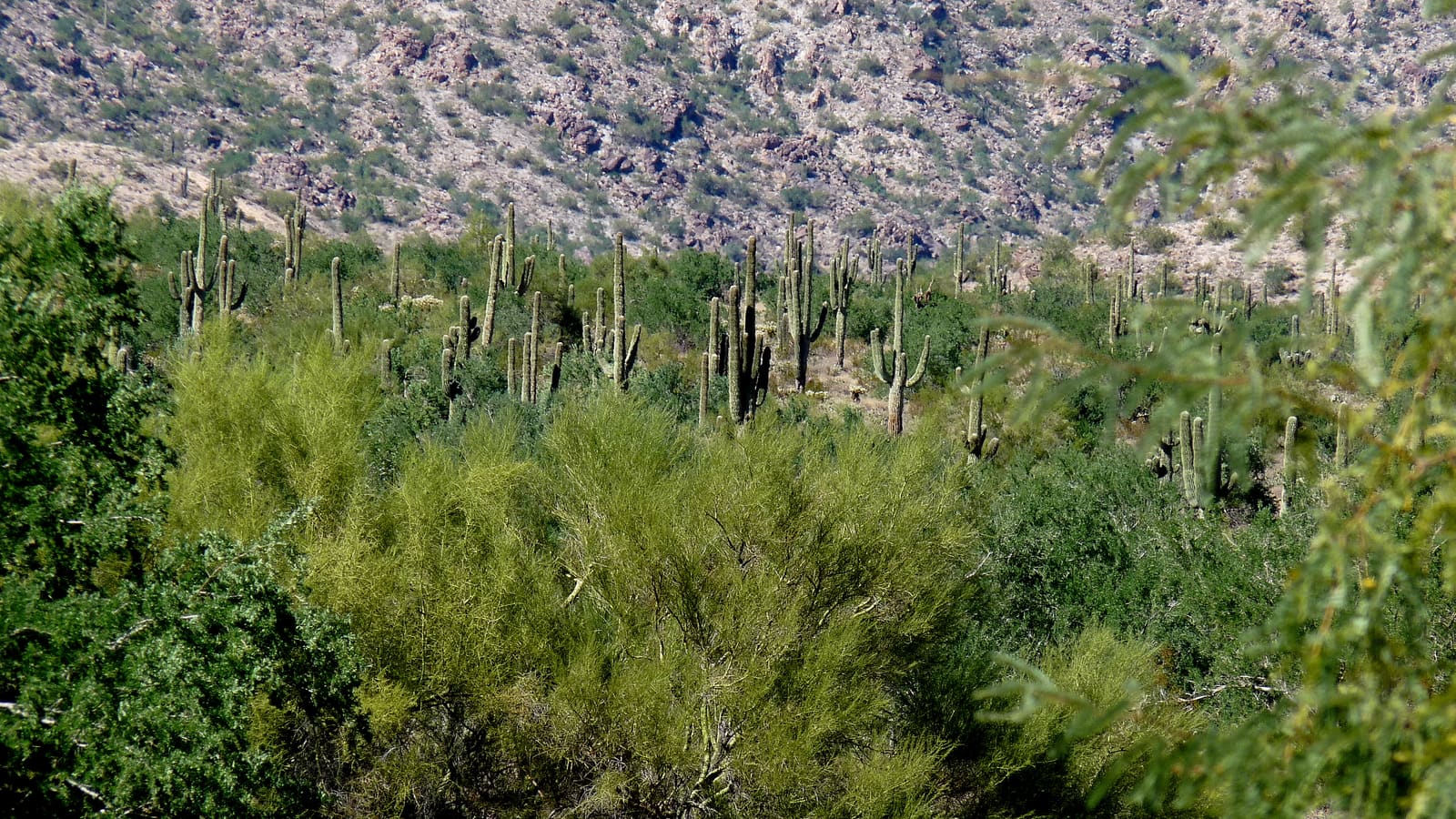
Glendale itself is built out with neighborhoods, sports venues, and shopping districts rather than open desert, but the West Valley around it holds some of the more accessible Sonoran Desert trail country in metro Phoenix. If you are staying near State Farm Stadium or the Westgate district for a game or a concert weekend, a short drive gets you to real desert landscape: saguaro-studded slopes, rocky washes, and mountain parks that feel far removed from the stadium lights.
This guide covers the two anchor options most visitors reach for, plus general planning advice that applies to nearly any desert trail in this part of Arizona. For a broader look at what else fills a Glendale itinerary, see our guide to things to do in Glendale.
Thunderbird Conservation Park
Thunderbird Conservation Park sits inside Glendale itself, which makes it the obvious first stop for anyone without a lot of drive time to spare. It is a city-managed, 1,185-acre desert preserve in the Hedgpeth Hills, with about 15 miles of multi-use trails that range from short, flat walks to steeper routes with real elevation gain over rocky terrain. Ramadas and picnic areas near the trailheads make it workable for a family outing that mixes a short hike with a rest stop in the shade.
Because it is a local park rather than a backcountry destination, trail conditions and hours are generally well maintained, but they do change, so check the City of Glendale's park pages before you go, particularly around trail closures after storms or extreme heat advisories. The park is also partway through a multi-year trailhead improvement project: the 59th Ave. Trailhead, between Deer Valley and Pinnacle Peak Rds., is closed for construction from April 2026 through December 2026, with the 55th Ave. Trailhead's improvements beginning next and running into 2027. All trails themselves remain open during construction, but confirm which trailhead and parking area is currently open on the city's website before you go. The park is a good fit for visitors staying in Glendale for a stadium event who want a couple of hours outdoors without leaving the area.
White Tank Mountain Regional Park
White Tank Mountain Regional Park is a Maricopa County park to the west of Glendale, and it is the more serious hiking destination of the two. It covers a large stretch of the White Tank Mountains and offers a wider range of trail lengths and difficulty levels, from short interpretive loops to longer routes that climb well into the foothills. The park is known for its Waterfall Trail, which leads to a seasonal waterfall that only runs after significant rain, so treat the waterfall itself as a bonus rather than a guarantee on any given visit.
The park also protects petroglyph sites along some trails, evidence of long human use of this stretch of desert. As with any petroglyph site, view and photograph rather than touch, since oils from skin contact can damage the rock art over time. Because White Tank is a county park with an entrance fee and specific hours, check the Maricopa County Parks website for current fees, gate hours, and any trail advisories before making the drive.
Trail Difficulty and What to Expect
Difficulty across both parks spans a wide range. Shorter, well-maintained loops near the main trailheads are generally manageable for most fitness levels and make sense for families or first-time desert hikers. Longer routes that climb into the foothills involve loose rock, exposed sun, and real elevation gain, and should be treated as a genuine hike rather than a casual walk. Trail surfaces are typically packed dirt, gravel, and rock rather than pavement, so proper footwear matters more than it might on an urban path.
Distances and official difficulty ratings for specific named trails are best confirmed on the park's own trail map before you go, since trail numbering and conditions can be updated by park managers. Treat any specific mileage you read online, including here, as a starting point to verify rather than a fixed fact.
Best Season to Hike
Late fall through early spring, roughly November through April, is generally the most comfortable window for desert hiking in this part of Arizona. Daytime temperatures in that stretch tend to sit in a range that makes a mid-morning or midday hike reasonably comfortable, and it is also when the desert is most likely to show wildflowers after winter rain.
Summer is a different story. From late spring through early fall, daytime highs in the Phoenix area routinely climb into dangerous territory for outdoor exertion, and heat-related illness is a real risk on exposed desert trail with little to no shade. Know the difference: heat exhaustion brings heavy sweating, weakness, nausea, and dizziness, and calls for shade, water, and cooling down; heat stroke is a life-threatening emergency marked by a body temperature above 103°F, hot or red skin, and confusion or a change in mental state, and it means calling 911 immediately rather than trying to cool off on your own or giving fluids. If you are visiting in summer, whether for a Cactus League tie-in via our Glendale spring training guide or any other reason, plan any hike for the earliest possible start, ideally sunrise, and treat late morning onward as off-limits for anything beyond a very short, well-shaded walk.
What to Bring
Water is the non-negotiable item. Carry more than you think you will need, generally at least one liter per hour of activity in warm conditions, and more if you are hiking anything beyond a short loop. There are limited or no reliable water sources on most desert trails, so what you bring in is what you have.
Sun protection matters as much as water: a hat, sunglasses, and sunscreen are close to mandatory given how little natural shade most of these trails offer. Sturdy closed-toe shoes with good traction help on loose rock and gravel sections. A phone with a downloaded map or offline trail app is worth having, since cell coverage can be inconsistent in the more remote sections of White Tank. Tell someone your planned route and expected return time before you set out, particularly on longer trails.
Planning Your Visit
Both parks are a manageable drive from most Glendale lodging, including hotels near Westgate or downtown Glendale. If you are combining a hike with a sports or entertainment trip, plan the hike for the morning and save the afternoon for recovery, since desert heat and physical exertion add up faster than expected, even outside peak summer months.
Before you go, check both the City of Glendale and Maricopa County Parks websites for current trail status, hours, and any fee information, since these details are managed independently by each agency and can change seasonally. If you're weighing where to base yourself for a West Valley trip that mixes hiking with other activities, our guide to where to stay in Glendale covers the lodging landscape in more detail.