Why Most Visitors Use Page, AZ as Their Base
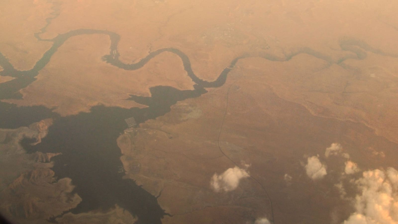
Page, Arizona is the closest town of any size to the southern end of Lake Powell. The Wahweap Marina, the National Park Service’s Carl Hayden Visitor Center, and the Glen Canyon Dam are all within a short drive of downtown Page. Antelope Canyon tours and Horseshoe Bend are also based in Page. If you want to wake up, get coffee, and be on the water (or in a slot canyon) within thirty minutes, Page is the practical answer.
Page has a small commercial airport (Page Municipal, code PGA) but most travelers fly into a larger hub and drive in. The two most common routes are from Phoenix (PHX) and from Las Vegas (LAS). Salt Lake City (SLC) and Flagstaff (FLG) work for specific trip shapes — we cover when each one is the right pick below.
If your trip includes the Bullfrog or Halls Crossing side of Lake Powell (the northern end, much less developed, closer to the Henry Mountains), the gateway city math flips: Salt Lake City becomes the more sensible airport. The lake is about 186 miles long end to end, so “Lake Powell” does not mean one location.
From Phoenix Sky Harbor (PHX) to Page, AZ
The drive from Phoenix to Page is approximately 275 miles and most planning sources estimate around four-and-a-half to five-and-a-half hours of driving time without major stops. The standard route is I-17 North to Flagstaff, then US-89 North through Cameron and the Vermilion Cliffs area to Page. It is almost all interstate or wide federal highway.
Most travelers break the drive in Flagstaff. From Phoenix to Flagstaff is roughly two-and-a-quarter hours on I-17. Flagstaff to Page is another two-and-a-half hours on US-89. Doing the drive in one push is reasonable if you start early, but the second half (after Cameron) is remote desert with limited fuel stops — fill up in Flagstaff or at Cameron Trading Post, not later.
Phoenix is the natural choice if you are combining Lake Powell with Sedona, the Grand Canyon South Rim, or anywhere in central or southern Arizona. It has the most flights and the cheapest rental cars of any nearby major airport, which can matter for a family of four.
From Las Vegas (LAS) to Page, AZ
Las Vegas to Page is roughly 275 miles as well, and planning sources commonly estimate five to six hours of driving. The standard route is I-15 North out of Las Vegas to the Utah border, then US-89 South through Kanab to Page. An alternative routing crosses Lake Mead via Hoover Dam and uses US-93 / I-40 / US-89, but the I-15 / Kanab route is typically faster and more scenic.
Vegas is the right gateway if you are pairing Lake Powell with Zion National Park or Bryce Canyon. Both parks sit naturally on the route home and add only modest detours. Many road trip itineraries we see use Vegas as both the start and end point with a Lake Powell + Zion loop in the middle.
If you are flying into Vegas specifically for Lake Powell, consider whether you actually want a single-base trip. The five-to-six-hour drive each way burns two full days of the trip. A houseboat rental that starts on the lake makes the math work better. A two-night Page stay does not.
From Salt Lake City (SLC) to Lake Powell
Salt Lake City to Page is roughly 380 miles and commonly takes around six-and-a-half to seven-and-a-half hours of driving — longer than from Phoenix or Vegas. The standard routes go through Utah on I-15 South to US-89 South via Panguitch and Kanab, or through southeastern Utah on US-191. The southeastern route is longer in miles but spectacular if you have not seen Capitol Reef, Hanksville, and the Henry Mountains.
Salt Lake makes more sense if your trip is anchored at Bullfrog Marina or Halls Crossing, the northern Lake Powell access points. From SLC to Bullfrog is roughly 270 to 290 miles via UT-95, and the drive itself is one of the most striking in the American West. If you are houseboating from Bullfrog, fly into Salt Lake.
Salt Lake also makes sense if Lake Powell is the start of a southwest national parks loop. The drive south through Utah passes Capitol Reef, then loops into the Lake Powell area, then connects to Bryce, Zion, and the Grand Canyon North Rim.
From Flagstaff (FLG) to Page, AZ
Flagstaff to Page is the shortest realistic drive — about 130 miles and roughly two-and-a-half hours on US-89 North. The route passes the eastern edge of the Grand Canyon and the western edge of the Navajo Nation, with the Vermilion Cliffs visible to the north as you approach the Glen Canyon area.
Flagstaff has a small regional airport (FLG, code KFLG) with limited service from Phoenix, Denver, and a few other hubs. Flights are typically more expensive than to Phoenix, but the savings on rental car time and gas often offset the airfare premium if you are short on vacation days.
Flagstaff is also a natural overnight stop on the Phoenix→Page drive even if you do not fly into FLG. The city has good restaurants, easy I-17 access, and is a useful base for Grand Canyon South Rim or Sunset Crater day trips if you want to fold those into the same week.
Other Realistic Starting Points
From Denver, Lake Powell is a long but doable drive — roughly 525 miles or eight-plus hours via I-70 West to UT-191 South or via Cortez and Mesa Verde. Most Denver-based travelers fly to Phoenix or Vegas instead. From Albuquerque, the drive is roughly 400 miles via US-550 and US-160, around six-and-a-half hours, which makes it a reasonable option if you are already in northern New Mexico.
From Los Angeles, plan on roughly eight to nine hours via I-15 and US-89, similar to a Las Vegas departure plus the LA-to-Vegas leg. Most LA travelers fly into either Las Vegas or Phoenix to cut the drive. From the Bay Area, the drive is over twelve hours; fly.
If you are visiting from out of country, Phoenix (PHX) and Las Vegas (LAS) both have direct international service from major hubs in Europe and Asia. Salt Lake (SLC) has fewer international options but works well for Western European itineraries that combine the Mighty Five Utah parks with Lake Powell.
Practical Driving Notes for the Page Approach
US-89 between Bitter Springs and Page crosses the Echo Cliffs and follows the Colorado River corridor for the last few miles into town. The drive is dramatic but exposed, and afternoon monsoon storms (July–September) can bring flash flooding to the washes. Check weather and road conditions before the drive, particularly in summer.
Cell service is intermittent across the Navajo Nation portion of US-89 between Flagstaff and Page. Download maps offline before you leave a major town. Our audio driving tours along this corridor are designed to work fully offline once downloaded, so the narration keeps playing even where the cell signal does not.
Fuel stops between Flagstaff and Page are limited. The reliable ones are Cameron Trading Post and Bitter Springs. After Bitter Springs there is little until Page itself. Top off in Flagstaff and again at Cameron if you have any margin concern.