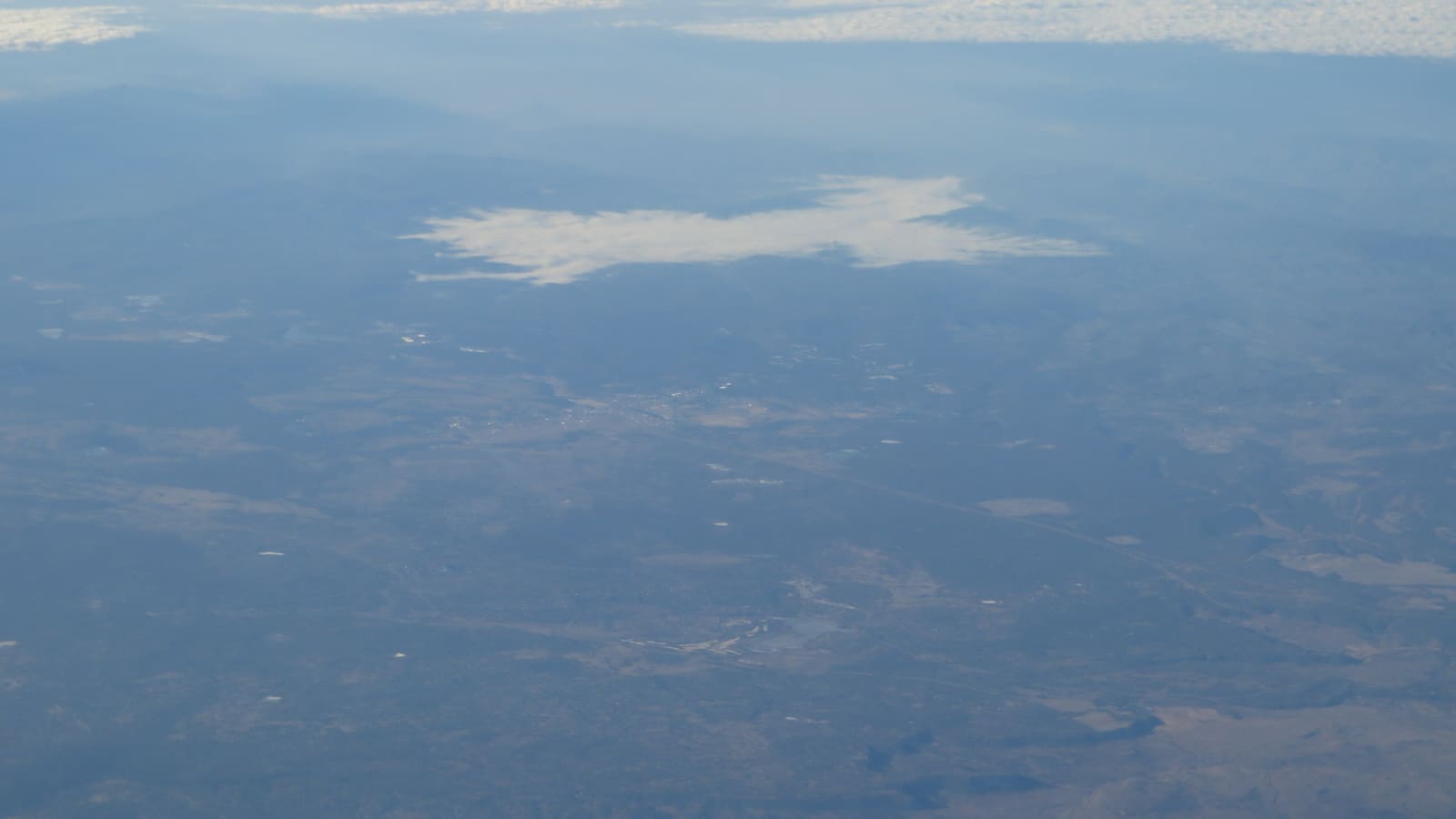
Where Show Low Sits and Why It's the Gateway
Show Low sits at 6,412 feet, by the city's own figure, at the junction of US-60 and SR-260 -- the point where the highway climbing out of the Salt River Canyon from the desert finally levels out into pine forest. That junction position is what makes the town the functional front door to the White Mountains -- almost every route into the region's lakes, trails, and villages passes through or near Show Low first.
The city's own account traces the name to a marathon poker game between two early settlers who decided there was not enough room for both of them and agreed to let a game of cards decide who would take the 100,000-acre ranch and who would move on. As the City of Show Low tells it, one of them said, "If you can show low, you win." The other turned up the deuce of clubs and replied, "show low it is." Show Low's main street is still named Deuce of Clubs in remembrance. It is a piece of local color worth knowing, even if the full details of the story vary by teller.
Show Low Lake and Fool Hollow Lake
Show Low does not require a drive into the forest to reach water. Show Low Lake, a 100-acre lake at 6,500 feet on the city's southern boundary about a mile off SR-260, draws a steady mix of anglers and picnickers without the crowds of the larger Rim-country lakes; it is operated by a concessionaire under contract with the City of Show Low. Fool Hollow Lake Recreation Area, on the city's northern border and operated by Arizona State Parks, is the larger and more developed of the two -- a 149-acre lake inside an 850-acre recreation area created by a 1988 public-private partnership between the city, the Forest Service, Arizona Game and Fish, and Arizona State Parks, with RV and tent camping, showers, and accessible fishing piers.
Low water has recently closed the boat ramps at Fool Hollow, with hand-launched craft still permitted, so check the Arizona State Parks page for current launch and water conditions rather than assuming a boat trip will work. Both lakes are stocked under Arizona Game and Fish regulations, as are Big Lake and Crescent Lake further into the forest. Sunrise Lake is a different case: it lies on the Fort Apache Indian Reservation, where an Arizona license is not valid and a White Mountain Apache Tribe permit is required instead. See our fishing guide for how Show Low's lakes compare to the deeper-forest options, and confirm which authority governs the specific water you plan to fish before you head out.
Four-Season High Country Weather
Show Low's elevation gives it a genuine four-season climate, which is a large part of its draw for Phoenix-area visitors. Summers run noticeably cooler than the desert floor, with afternoon monsoon storms common in July and August, making the town a popular warm-weather escape. Winters bring real cold and periodic snow, since Show Low sits within the same high-country weather system that feeds the Sunrise Park ski season further east.
Spring and fall tend to be milder and drier, though conditions at this elevation can shift quickly, and a clear morning can turn into an afternoon storm with little warning in summer. Check a current forecast before any trip, and see our winter guide and summer escape guide for how each season plays out across the region.
Monsoon safety, July through September
Afternoon thunderstorms are the season's defining hazard, and they matter most if your day involves a lake, a trail, or an open meadow. The National Weather Service puts it plainly: if you hear thunder, you are close enough to the storm to be struck by lightning, so get to a sturdy building or a hard-topped vehicle immediately and stay there for 30 minutes after the last thunder. Open water and exposed high ground are the worst places to wait one out.
Monsoon rain also turns normally dry washes and dips in forest roads into fast-moving water. Never drive into a flooded roadway — the NWS notes that as little as one to two feet of water can float most vehicles, and depth is very hard to judge from behind the wheel. Do not drive around barricades, and check az511.gov for current road conditions before heading out on a storm day.
Access to the Wider White Mountains
From Show Low, Pinetop-Lakeside is a short drive south along SR-260, and Greer and Sunrise Park Resort are reachable as a longer but still manageable day trip further east. Sunrise Park Resort is owned and operated by the White Mountain Apache Tribe and sits on the Fort Apache Indian Reservation, so recreation there runs on tribal permits and rules rather than state ones. The town also sits at the edge of the Apache-Sitgreaves National Forests, which cover more than two million acres of the surrounding high country with hiking trails, forest roads, and dispersed camping options.
Because Show Low sits at the geographic edge of the region rather than deep inside it, it works better as a launch point than as a destination in its own right. See our hiking and trails guide and day trips guide for routes reachable from a Show Low base.
Dining, Services, and Practical Basics
Show Low holds the region's largest concentration of chain hotels, grocery stores, and general services, along with a regional airport and the area's hospital, which is worth knowing for trip-planning purposes even if you never need either. Dining leans toward casual mountain-town restaurants and familiar chains clustered along the highway corridor.
We are deliberately not naming specific restaurants or listing prices here, since operators, menus, and hours change and a name-dropped favorite can close or change ownership without notice in a town this size. Check current listings and reviews before you commit to a dinner plan, particularly during shoulder-season weeks when some spots run reduced hours.
Planning Your Show Low Visit
Show Low works well as a one-night stop on the way to Pinetop-Lakeside or Greer, or as a full basecamp for travelers who value logistics over deep-forest atmosphere. Summer weekends and the ski season both tighten lodging availability across the region, so booking ahead for those windows is a reasonable habit rather than an overcautious one.
If you are deciding between Show Low and a deeper-forest base, see our Pinetop-Lakeside basecamp guide for a direct comparison of what each town offers, and our cabins and lodging guide for the fuller regional rundown.