Why Valley Residents Flee to the High Country Every Summer
When Phoenix and Tucson climb into the triple digits for months at a stretch, the White Mountains sit thousands of feet higher -- about 6,400 feet at Show Low, roughly 7,000 at Pinetop-Lakeside, and about 8,400 at Greer -- and answer with a different climate entirely. The math is simple: elevation trades heat for cool air, and these towns gain enough of it that a summer afternoon here runs roughly 20 to 30 degrees cooler than the Valley floor. That gap is not a marketing line -- it is the entire reason a weekend exodus points up US-60 and SR-260 every June through August.
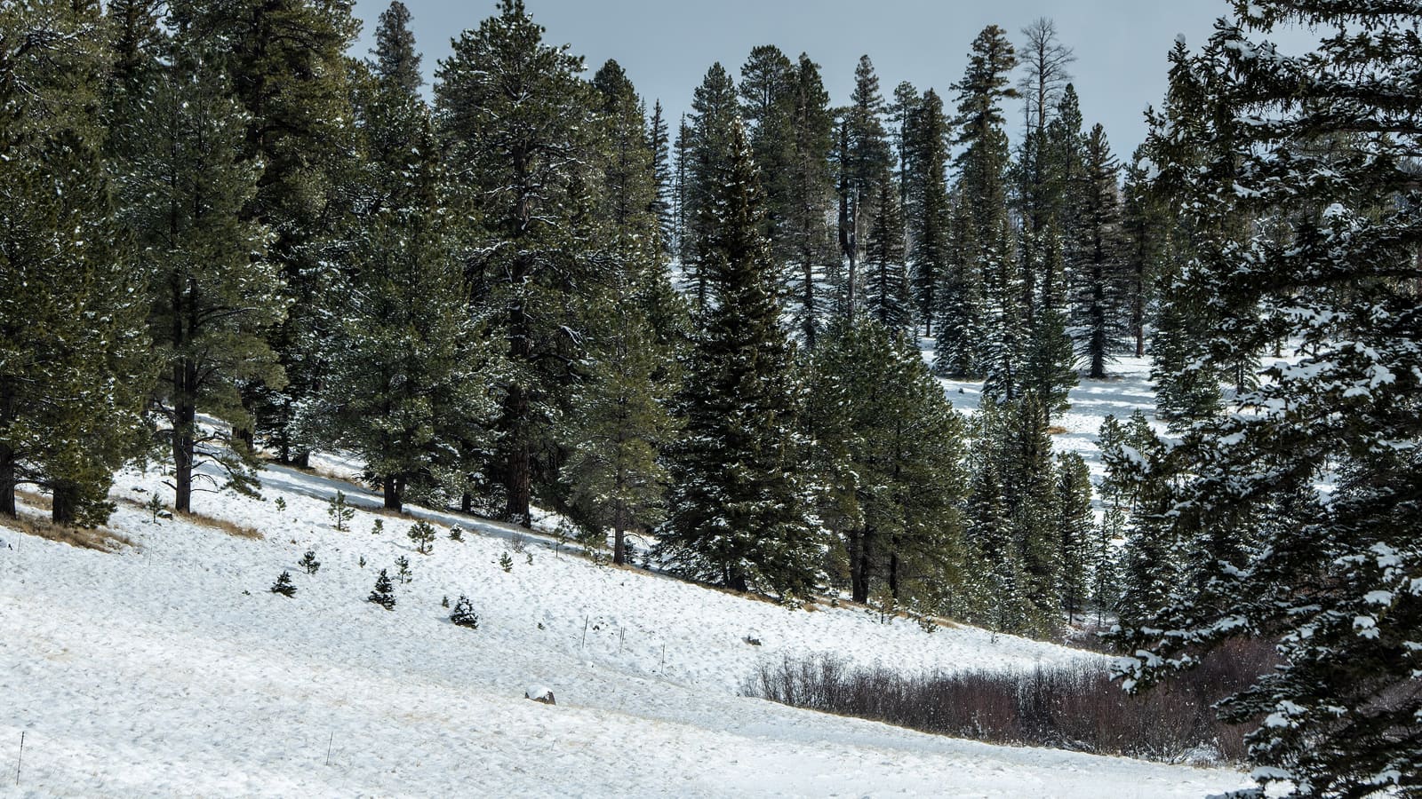
The three-town cluster of Show Low, Pinetop-Lakeside, and Greer sits inside the Apache-Sitgreaves National Forests, a Ponderosa pine forest that keeps the air moving and the shade constant. Families who have kept cabins here for generations time their summer around this single fact: mornings cool enough for a sweater, afternoons warm enough for the lake, and nights that settle into the 50s in Show Low and into the 40s at the higher elevations and earlier in the season. If your idea of an Arizona summer is a swimming pool and air conditioning, this is the other option -- open windows and a real forest.
The Elevation Math: What ~7,000 Feet Actually Buys You
Temperature drops with elevation at a fairly reliable rate, and these towns sit roughly 5,000 to 7,000 feet above the Valley floor -- Show Low is near 6,300 feet, Pinetop-Lakeside around 7,000, and Greer, the highest of the three, about 8,400. NOAA's 1991-2020 normals put Show Low's July afternoon high at about 85 degrees and the higher country around McNary near 80, against roughly 106 in Phoenix. None of this is exact science you should plan an hour-by-hour itinerary around -- mountain weather shifts fast -- but the general pattern holds reliably enough that it is the basis of the entire regional economy each summer.
The practical upshot is a wider comfort window than most Arizona destinations offer. You can hike at midday instead of racing the sun, sit outside for dinner without sweating through it, and expect a genuine chill after dark that makes a fire pit or a cabin fireplace worth using even in July. Pack layers -- shorts for the afternoon, a jacket for the evening -- rather than assuming a single Arizona summer wardrobe covers both ends of the day.
Monsoon Season: Afternoon Storms and How to Plan Around Them
Arizona's summer monsoon reaches the White Mountains too, and the season is longer than most visitors assume: the National Weather Service dates it June 15 through September 30, not just the peak weeks of July and August. Rain does not fall continuously through those months -- it arrives most days as afternoon and evening thunderstorms. Mornings tend to start clear, clouds build over the peaks by early afternoon, and a storm can move through with real lightning and heavy rain before clearing out by evening. It is a dramatic pattern, and it is a genuine hazard for anyone caught on an exposed trail, on open water, or on a high point like the Mount Baldy approach when the storm arrives.
Lightning: the NWS is unambiguous -- no outside location is safe when thunderstorms are near. There is no crouch, no tree, and no ridge-line technique that makes you safe outdoors; the only safe places are a substantial building or an enclosed metal-topped vehicle. So get your outdoor activity done in the morning, watch the clouds build after midday, and be inside before the storm reaches you rather than after. Once you are under shelter, wait 30 minutes after the last rumble of thunder before going back out. Check the forecast the morning of any hike or lake outing rather than relying on the day before, since monsoon storms are notoriously local and can vary from one town in the cluster to the next.
Flash flooding is the other monsoon killer, and it happens in vehicles. NWS guidance is to never drive through flood waters: twelve inches of moving water can sweep a car off the roadway, and most flood fatalities happen to people in cars. On this terrain that means dips, washes, and low crossings on forest and secondary roads, and it means burn scars from past fires shed water fast and flood channels that look dry. If water is over the road, turn around.
Pine Forest and Trail Time
The same elevation and forest that cool the air make for genuinely different hiking than anything in the low desert. The White Mountains Trail System out of Pinetop-Lakeside is the everyday network for a summer trip -- looping Ponderosa pine trails built for hikers, mountain bikers, and equestrians, mostly shaded and mostly gentle compared to desert scrambling. For a bigger day, trails toward Mount Baldy climb into spruce-fir forest and alpine meadow, though the true summit sits on White Mountain Apache land and is closed to non-tribal access, so plan to hike to the wilderness boundary rather than the peak itself.
Two things to square away before a big hiking day here. The first is altitude: the trails around Pinetop-Lakeside start near 7,000 feet and the Mount Baldy country runs past 11,000, so a visitor arriving from Phoenix has gained several thousand feet in a morning. Take the first day easier than you think you need to, drink more water than usual, and treat headache, nausea, or unusual breathlessness as a reason to descend rather than push on. The second is fire: check the Apache-Sitgreaves National Forests' current alerts and closures page for fire restrictions and forest orders before you go, since restrictions on campfires, stoves, and smoking -- and outright area closures around burn scars -- change through the season and are not always posted at the trailhead.
For the full range of routes, distances, and current trail conditions, see our White Mountains hiking and trails guide -- trail closures and reroutes do happen after storms, so check current conditions before you commit to a specific route on a summer trip.
The Lakes: Cool Mornings and Trout Water
Summer is peak season for the region's lakes, and there are enough of them to spread a whole trip around. Show Low Lake and Fool Hollow Lake sit close to town for an easy morning outing, while Big Lake and Crescent Lake on the high plateau near 9,000 feet stay cold enough for serious trout fishing well into August. Out along the Mogollon Rim, Woods Canyon Lake and Willow Springs Lake round out the options for anyone willing to drive a little further for a quieter shoreline.
Cold mornings on the water are one of the best arguments for a summer trip here -- a lake at 7,000 to 9,000 feet in July can still call for a jacket at sunrise. For species, stocking patterns, and a fuller list of waters, see our White Mountains lakes and fishing guide. And get the jurisdiction right before you cast: a meaningful share of the water here -- Sunrise Lake, Hawley Lake, and Reservation Lake among them -- sits on the Fort Apache Indian Reservation, where an Arizona state fishing license does not apply. The White Mountain Apache Tribe requires its own recreation fishing permit for anglers ten and older, with separate permits for camping and for boats and watercraft, all issued through the tribe's Game and Fish Department under the tribe's own regulations.
Basing Your Summer Trip
Where you base changes the trip. Show Low is the practical choice for services and a central location; Pinetop-Lakeside is the classic cabin-and-trail base with denser forest and more rental options; Greer is the smallest and highest, better suited to a deliberate overnight than a full week's supply run. Whichever you pick, summer is the peak booking season here -- cabins and lodges fill for July and August weekends well in advance, so treat "we'll figure it out when we get there" as a real risk rather than a plan.
For a fuller look at Pinetop-Lakeside and Show Low as a basecamp -- lodging areas, dining, and how to structure a stay -- see our Pinetop-Lakeside basecamp guide. And because a genuine Arizona summer trip like this is worth planning around real dates, book your stay and any guided outings before you finalize a specific weekend.