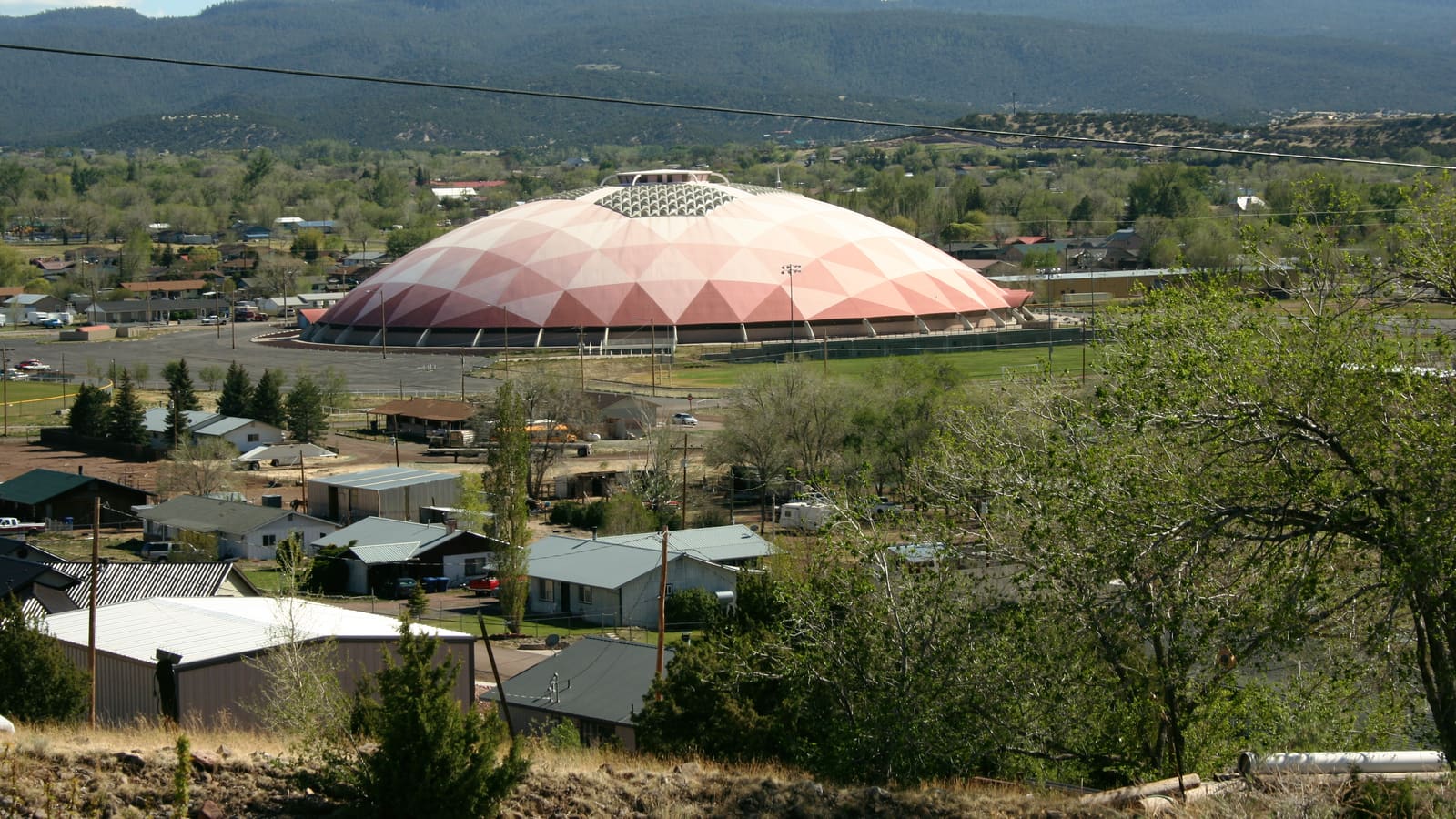
Round Valley: Two Towns, One Valley
Springerville and Eagar sit a short distance apart in Round Valley, a broader, more open high-elevation valley along the upper Little Colorado River in the eastern White Mountains. Compared to the dense pine forest around Pinetop-Lakeside and Greer, Round Valley shows more open grassland and ranch country between the surrounding forested slopes.
The two towns function together as a single practical community for most visitors, sharing services and sitting close enough that driving between them takes only a few minutes. Round Valley sits notably further east than the region's more visited towns, closer to the New Mexico border than to Pinetop-Lakeside or Show Low.
Springerville: History and the Eastern Gateway
Springerville sits along US-60 at an elevation of about 7,000 feet and serves as the more commercial center of Round Valley. The town grew up around Henry Springer's trading post, was established in 1879, and incorporated in 1948. It is worth being clear about size, since it is easy to assume the commercial hub is also the bigger town: by Arizona's own state population estimates, Eagar is substantially the larger of the twins, with roughly 4,600 residents to Springerville's roughly 1,700. Springerville's position along the highway makes it a natural stop for travelers heading toward the New Mexico state line or approaching the White Mountains from the east.
The Casa Malpais site just north of Springerville, on US-60, is a National Historic Landmark built and occupied by the Mogollon people between about 1240 and 1350 AD -- a distinct archaeological culture from the Ancestral Puebloans further north. Set among old lava flows overlooking town, it preserves a 50- to 60-room pueblo, a great kiva, and a solar calendar, and it is one of the more distinctive cultural stops in the eastern White Mountains. The site is open by guided tour only, departing from the Springerville Heritage Center at 418 E. Main Street; tours cross rocky volcanic ground, so wear sturdy footwear, and confirm current tour times and reservations before visiting.
Eagar and the Volcanic Country
Eagar sits just south of Springerville, is the larger of the two towns by population, and has traditionally carried more of a ranching and residential character than its neighbor. It also sits closer to the mountains: Sunrise Park Resort is about 25 miles west of Eagar, and the town's own description places it at the foot of the White Mountains on the edge of the national forest.
The Springerville volcanic field is the region's other signature landscape, and it is worth being precise about where it actually is. Despite the name, the field does not sit beside the town so much as stretch away from it: USGS mapping puts its roughly 1,160 square miles and some 400 cinder cones mainly to the west and northwest of Springerville, spreading across the Vernon, Greens Peak, and Show Low Creek country -- which is why the older literature sometimes calls it the Springerville-Show Low field. Its eastern edge does reach the towns themselves, and the lava flows beneath Casa Malpais just north of Springerville are part of it.
The volcanic country is a striking contrast to the pine-forest scenery found elsewhere in the White Mountains, and it is worth a scenic drive for travelers interested in the region's geology. Much of the field is a patchwork of private ranch land and forest road rather than a signed attraction, and road surfaces vary widely, so check current access and conditions with the Apache-Sitgreaves National Forests before planning a route through it, and do not count on cell coverage.
Nearby Lakes and Outdoor Access
Lyman Lake State Park is the closest sizable water, though it is a different animal from the forest trout lakes: it sits north of Round Valley on US-191, about 11 miles south of St. Johns, and is a 1,500-acre reservoir at 6,000 feet, created by damming the Little Colorado River and fed by snowmelt off Mount Baldy and Escudilla Mountain. That lower, more open setting means warmer water and a different fishery than Big Lake or Crescent Lake deeper in the forest, and it is one of the few northeastern Arizona lakes with no size restriction on boats. Low water has recently closed the boat ramps there, with non-motorized craft still launching from the beach, so confirm current conditions with Arizona State Parks before towing anything. The area also borders the Apache-Sitgreaves National Forests, giving access to hiking and forest-road routes on the eastern edge of the forests' footprint.
See our fishing guide for how Lyman Lake and the region's other lakes compare, and check current Arizona Game and Fish regulations before you head out.
The Coronado Trail Connection
Springerville sits at the northern end of the Coronado Trail Scenic Byway, the long and winding stretch of US-191 that runs south through remote forest country toward Clifton and Morenci. ADOT puts the route at about 120 miles with roughly 460 curves between Clifton and Springerville, climbing to around 9,000 feet in the Apache-Sitgreaves National Forests near Alpine, and reckons about three hours of driving for the full run. It is popular with scenic drivers willing to take a slower, more demanding road.
Because the byway has long stretches with few services, basing a night in Springerville or Eagar before or after the drive is a sensible way to break up the route. See our scenic drives guide for more on the Coronado Trail and other regional routes.
Driving the Coronado Trail safely
Three hours is the driving time, not the trip time — plan a full day and start with a full tank, because fuel, food, and reliable cell service are all scarce between Alpine and Clifton. The near-continuous curves are tiring and are a poor match for large RVs and long trailers; if you are towing, consider the route carefully or take an alternative.
Conditions are the real variable. At 9,000 feet the byway holds snow and ice well outside midwinter, and summer monsoon storms bring lightning, hail, and water across the road. Check az511.gov for current closures and restrictions before you leave, never drive into a flooded roadway or around a barricade, and if thunder starts while you are stopped at a viewpoint, the National Weather Service advice is to get back into a hard-topped vehicle and wait 30 minutes after the last thunder.
Planning Your Round Valley Visit
Springerville and Eagar have fewer lodging options and services than Show Low or Pinetop-Lakeside, so travelers should expect a smaller and more limited selection when booking a stay. That tradeoff comes with quieter surroundings and easier access to the eastern side of the region, including the volcanic field and the start of the Coronado Trail.
If your trip is centered more on Pinetop-Lakeside, Greer, or Sunrise Park, see our Pinetop-Lakeside basecamp guide for a more central option, or our 3-day itinerary guide for how a Round Valley stop might fit into a wider regional trip.