Why the Refuge Exists
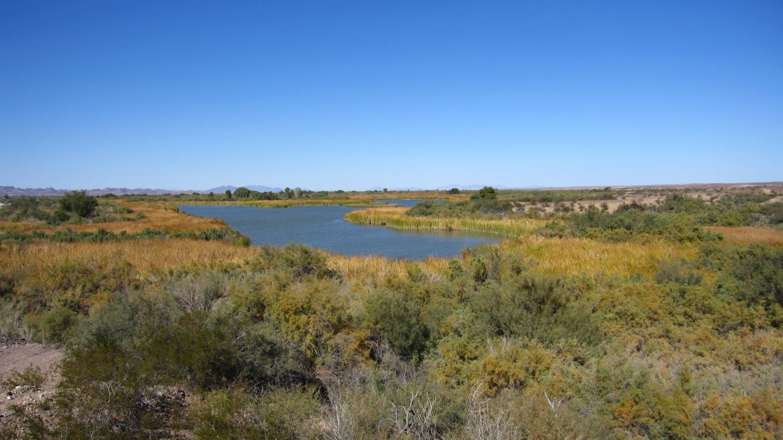
Cibola National Wildlife Refuge was established on August 21, 1964, and covers roughly 16,600 acres in the lower Colorado River floodplain, spanning La Paz County, Arizona, and Imperial County, California. It exists as mitigation: the Bureau of Reclamation had straightened, channelized, and armored long stretches of the Colorado River's banks to control flooding, which also wiped out the natural marshes, backwaters, and river meanders that historically flooded and gave migratory waterfowl a place to winter.
The refuge's job is to recreate that lost habitat deliberately, through managed ponds and flooded fields rather than a naturally meandering river. It is part of the Southwest Arizona National Wildlife Refuge Complex alongside Imperial and Kofa, the two refuges covered in our other guides -- three very different approaches to protecting the same stretch of river system.
The Goose Loop Auto Tour
The Goose Loop is Cibola's main visitor route: a self-guided driving loop open year-round, from 30 minutes before sunrise to 30 minutes after sunset, past the refuge's managed ponds and fields. Driving the full loop and stopping to walk the adjoining Nature Trail takes about an hour, which makes it one of the more time-efficient wildlife stops in the region -- there is no long approach hike required to see something.
This is also the refuge's biggest practical difference from Imperial and Kofa: neither of those requires a car to be the whole experience the way Cibola does. If you are not up for the drive-and-stop pace, Cibola is a less rewarding stop than the others.
Geese, Cranes, and Other Wildlife
Wintering Canada geese, ducks, and sandhill cranes are Cibola's signature draw, arriving in numbers through the fall and winter months as the managed ponds fill. Over time the refuge has recorded more than 250 bird species, including golden eagles, great blue herons, snowy egrets, and the endangered southwestern willow flycatcher.
Resident wildlife -- present year-round rather than only in winter -- includes mule deer, Gambel's quail, coyotes, and burrowing owls. Expect very little of this outside the November-through-February stretch, though: without the migratory birds, the refuge is a much quieter stop.
Getting There and Visitor Center Hours
The refuge's own posted route from Yuma runs west on Interstate 8 into California, exiting at Ogilby Road, continuing roughly 25 miles, then turning onto Ben Hulse Highway for about 21 more miles before following signs to the river -- altogether closer to an hour's drive than a quick trip. Some of that route runs through California before looping back toward the river, which surprises people expecting a straight shot north the way Imperial's drive works. Confirm current directions and any road-condition notices with the refuge before you go.
The visitor center has run daily, 8 a.m. to 4 p.m., from November 20 through March 31, closed on federal holidays, with no charge to visit. That window lines up with both the refuge's cooler weather and its peak bird activity, which is not a coincidence -- flows and conditions favor migratory waterfowl in exactly the same months the visitor center bothers to staff up.
Comparing Cibola to Imperial and Kofa
If you only have time for one refuge day trip from Yuma, the choice comes down to what you want. Cibola is the drive-it, managed-wetland option built for a winter morning and a car full of people who don't want to hike. Imperial National Wildlife Refuge, closer to town near Martinez Lake, mixes river and backwater habitat with two short trails and more of a boating-and-fishing culture. Kofa National Wildlife Refuge is the odd one out -- dry desert mountains, native fan palms in Palm Canyon, and desert bighorn sheep, with essentially none of the water-and-waterfowl focus the other two share.