What Kofa National Wildlife Refuge Is
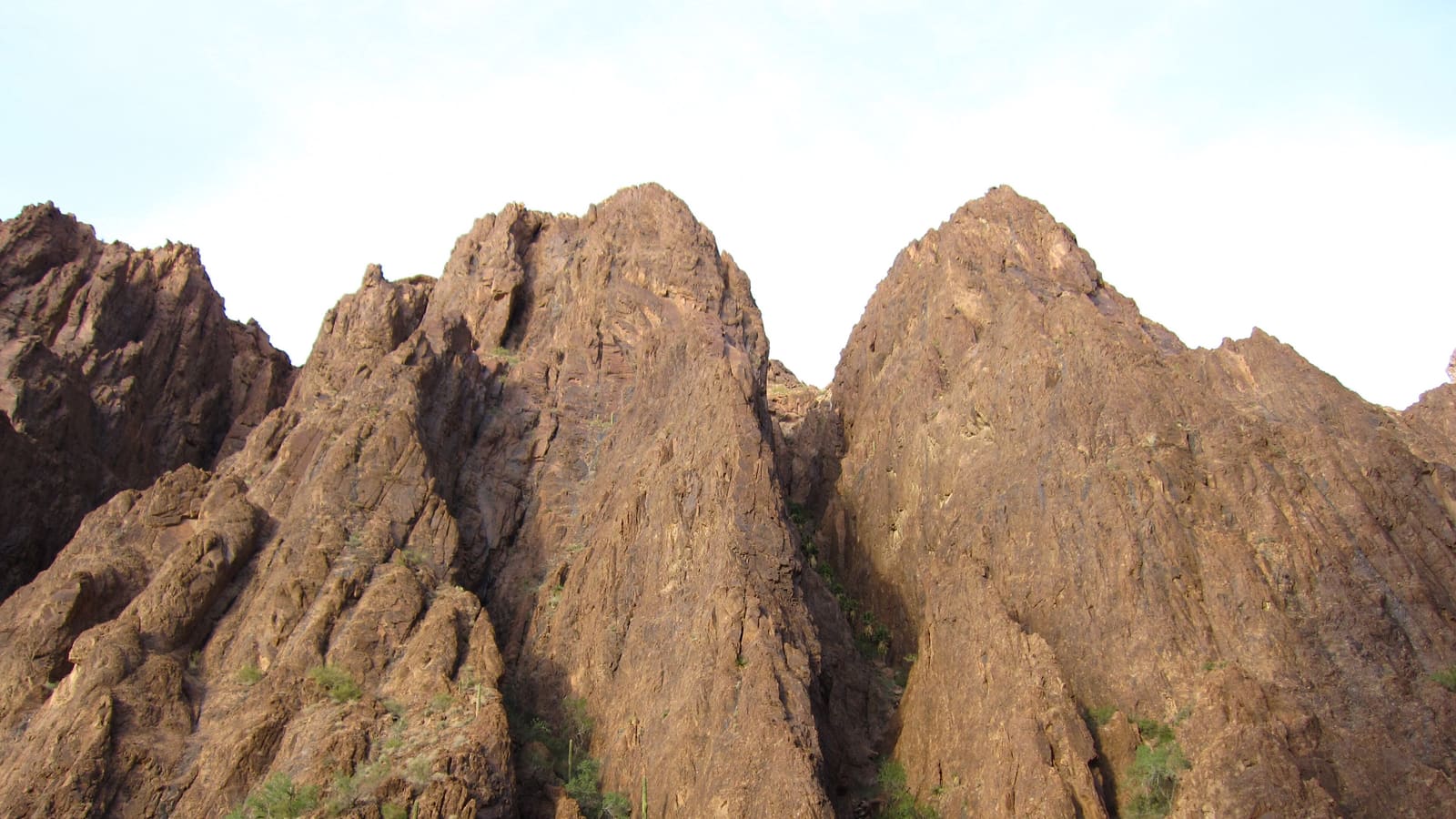
Kofa National Wildlife Refuge is a large expanse of rugged desert mountains and open basin in southwestern Arizona, managed by the U.S. Fish and Wildlife Service. It covers 665,400 acres of Sonoran Desert and was established from public lands on January 25, 1939, by Executive Order 8039, for the protection of desert bighorn sheep. More than 80 percent of it is designated wilderness, which makes it one of the larger blocks of protected desert terrain in the state. Unlike a national park with visitor centers and paved loop roads, Kofa is managed largely as backcountry -- the infrastructure is minimal by design.
That undeveloped character is part of the appeal for visitors looking for genuine desert wilderness rather than a curated attraction, but it also means the refuge asks more of visitors in terms of preparation than a typical roadside stop would. Before planning a visit, it's worth checking the refuge's current information through the U.S. Fish and Wildlife Service, since access points, road conditions, and any temporary closures can change.
Palm Canyon and Its Native Fan Palms
The refuge's signature destination is Palm Canyon, a narrow side canyon west of Signal Peak that the U.S. Fish and Wildlife Service describes as home to a relict population of California fan palms (Washingtonia filifera), tucked high in the canyon -- a native stand rather than a planted grove, and a genuine rarity in Arizona. The canyon's sheltered setting collects enough moisture to support the palms in an otherwise dry desert range, which is part of what makes the spot notable to botanists and casual visitors alike.
Reaching the palms involves a short but rocky hike up the canyon from a trailhead parking area -- the Fish and Wildlife Service lists the Palm Canyon Trail at 0.45 miles -- with the palms visible in a cleft partway up the slope rather than clustered at trail's end. The trail is unshaded and can be uneven underfoot, so sturdy footwear matters more than distance alone would suggest.
Desert Bighorn Sheep and Other Wildlife
Desert bighorn sheep are the animal Kofa is most associated with, and the refuge's steep, rocky terrain is well suited to the species' preference for cliffs and rugged slopes where they can evade predators. That same terrain, though, makes sightings inconsistent -- bighorn are wary, blend into the rock, and tend to be most active during the cooler hours around dawn and dusk rather than the middle of the day.
Beyond bighorn, the refuge supports a range of desert wildlife typical of the Sonoran Desert region, including various reptiles, raptors, and smaller mammals. Binoculars, patience, and quiet, distant observation generally produce better wildlife-watching results than expecting a close encounter on a fixed schedule.
Getting There: Roads, Access, and High-Clearance Realities
The U.S. Fish and Wildlife Service puts Kofa 40 miles north of Yuma, on the east side of State Highway 95, with an unpaved refuge road leading in toward the Palm Canyon trailhead. Be clear-eyed about what that means: in the Service's own words, "most refuge roads are not maintained. Many are passable only by four-wheel drive vehicles. Some roads may be passable by two-wheel drive, high clearance vehicles." Expect washboard, loose gravel, and rocky sections that vary in severity with recent weather. A high-clearance vehicle is the practical minimum for the Palm Canyon road, and after rain four-wheel drive can become genuinely necessary rather than optional.
Because conditions change, don't rely on secondhand descriptions of the road, including this one -- check current conditions with the refuge or the U.S. Fish and Wildlife Service before you commit a low-clearance vehicle to the drive, and have a backup plan if the road looks worse than expected when you arrive.
What to Expect and How to Prepare
The U.S. Fish and Wildlife Service is blunt about this: there are no facilities on the refuge for towing, gasoline, sanitation, or drinking water, and cellular phone coverage is absent over most of the refuge. The Service advises visitors to let someone know where they are going and when they plan to return, and to bring plenty of drinking water, snacks, insect repellent, sunscreen, and other necessities. That combination means being genuinely self-sufficient: bring more water than you expect to drink, start with a full tank of gas, carry a paper map or a downloaded offline map rather than depending on a live signal for navigation, and understand that if you break down or get hurt on a refuge road, you may not be able to call for help and no one will be along to tow you.
Summer heat in this part of Arizona is extreme and genuinely dangerous for hiking, so the cooler months from fall through spring are the more comfortable and safer window for a visit. Know the National Weather Service's heat-illness signs before you set out on the Palm Canyon Trail: heavy sweating, cool clammy skin, weakness, dizziness, or nausea mean heat exhaustion -- stop, get to shade, cool down, and sip water; confusion, slurred speech, hot dry skin, or loss of consciousness mean heat stroke, a medical emergency. On a refuge with no cell coverage and no water, that emergency is one you may have to drive out of rather than call in, which is the real reason to go early, go in the cool season, and not go alone.
Planning Your Visit From Yuma
Kofa pairs naturally with other day-trip destinations in the Yuma area, since it sits within a reasonable drive of the city and shares the same cooler-season logic that shapes most outdoor plans here. Basing yourself in Yuma keeps you close to fuel, supplies, and lodging before and after a refuge visit, which matters given how sparse those resources are once you're on the access road.
Before you go, check the refuge's current status, road conditions, and any seasonal notices through the U.S. Fish and Wildlife Service, and plan your drive time generously -- the unpaved stretch takes longer than the mileage alone would suggest.