Yuma's position near where Arizona, California, and Mexico nearly meet makes it a genuine hub for day trips, not just a stopover town. Within a couple hours of a Yuma base you can reach a true sand sea, a wilderness refuge with Arizona's only native palms, and two international border crossings — three completely different kinds of days, all returning to the same bed each night. This page lays out that ring: what each trip involves, roughly how long it takes, and the seasonal and border caveats worth knowing before you go.
For the anchors that make the corner itself worth a stay — the Territorial Prison, the winter-lettuce fields, the long snowbird season — see the Yuma travel guide. This page is specifically about what's around it.
Heat & Border Notice
Every drive time below is an approximate range — verify current road and traffic conditions before you leave. Open-sand and desert-trail day trips (the dunes, Kofa's Palm Canyon) are genuinely hazardous in summer heat; plan those for the November–March window or the earliest morning hours only. For the border crossings, check current CBP wait times and documentation requirements before you go — both can change without much notice.
West: The Imperial Sand Dunes
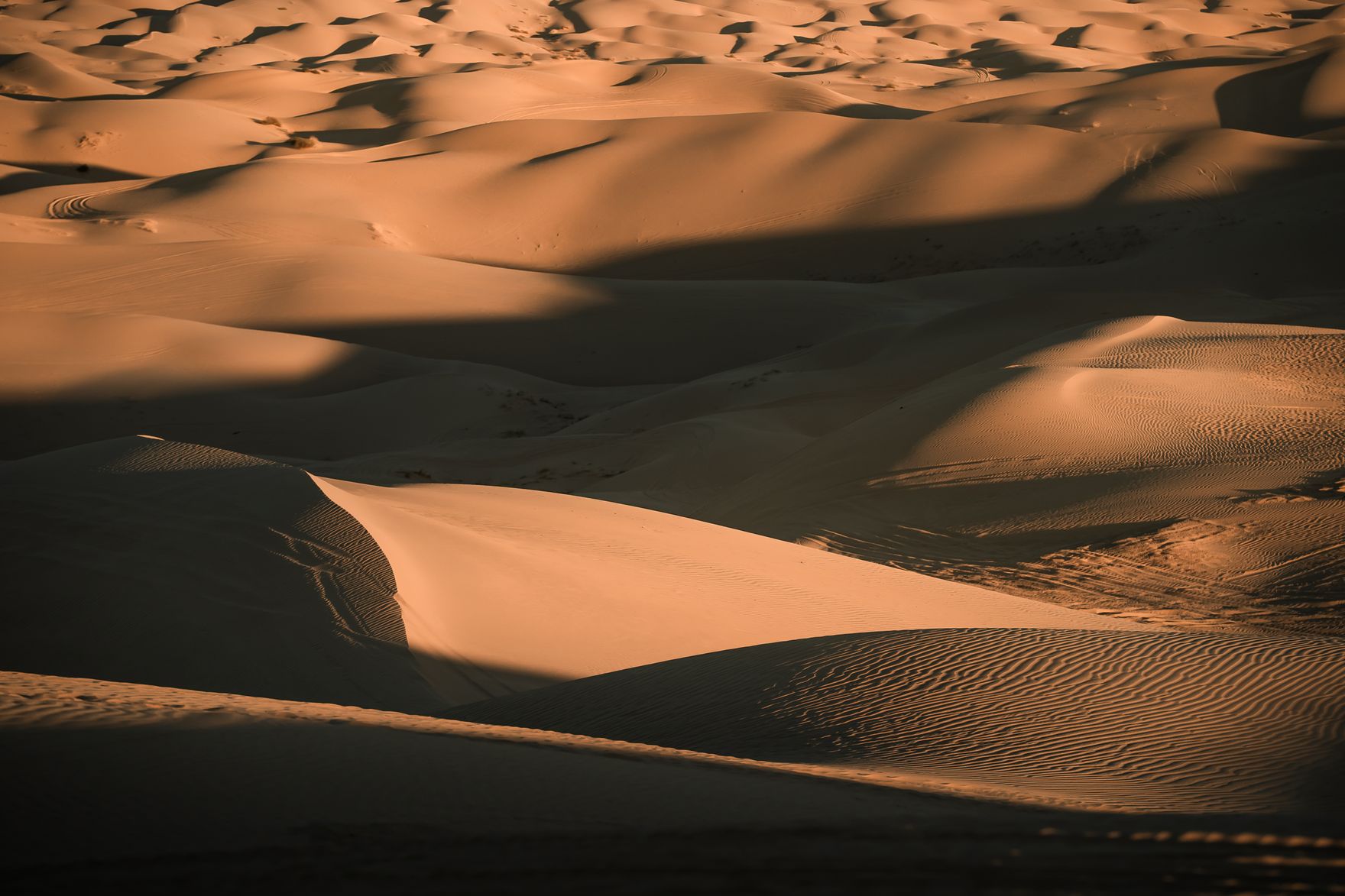
A short drive west on I-8 takes you across the California line to the Imperial Sand Dunes, also called the Algodones Dunes and known locally as Glamis — the largest mass of sand dunes in California, according to the Bureau of Land Management, which manages the site, stretching more than 40 miles in a band averaging 5 miles wide. In the cool months the dunes fill with OHV riders and dune buggies on Bureau of Land Management-managed riding areas, and even without an engine the golden-hour light on the ridgelines is some of the most cinematic desert landscape in the corner; the dunes have stood in for the Sahara and for alien deserts on film sets over the decades.
Drive time to the nearest access points runs roughly 20 to 30 minutes from Yuma, though the exact figure depends on which staging area you're headed to — check a current map before you leave rather than relying on a single fixed number. There are essentially no services on the dunes themselves, so arrive with full fuel, water, and supplies. If you're riding, confirm current BLM permit, registration, and open-area requirements directly with the agency, since rules and boundaries are enforced seasonally and do change. Summer sand-surface temperatures run well above already extreme air temperatures, so treat midday visits from roughly June through September as genuinely hazardous, not just uncomfortable.
North: Kofa Refuge & Palm Canyon
Kofa National Wildlife Refuge lies north of Yuma along US-95, a rugged stretch of Sonoran Desert mountains and wilderness that protects desert bighorn sheep habitat and, at Palm Canyon, Arizona's only native palm grove. The refuge entrance and the turnoff to Palm Canyon are reached by unpaved roads off the highway, and while the final approach to the canyon trailhead is generally manageable, conditions vary with recent weather, so a high-clearance vehicle is the safer assumption and worth confirming before you commit to the drive. The hike into Palm Canyon itself to view the palms is short but rocky, with essentially no shade.
Because this is a designated wildlife refuge rather than a staffed park, there are no services, no reliable cell coverage in much of the area, and minimal signage compared to a National Park. Carry more water than you think you'll need, tell someone your general plan, and check current refuge road conditions and any closures before you leave Yuma — conditions here change with weather more than most stops on this page.
South: Cocopah Lands & the Border
South of Yuma toward Somerton lie the Cocopah Tribe's lands, home to the Cocopah Museum and cultural center, where exhibits cover the Kwapa river people's history, basketry, and their long relationship to the lower Colorado floodplain — a history that predates the Yuma Territorial Prison by centuries and is worth an unhurried hour on its own terms, not as an add-on to the prison story.
Continuing south brings you to San Luis and the border crossing into Mexico, and from there to Los Algodones, a small border town well known for dental, pharmacy, and vision-care tourism as well as shopping and dining. Wait times at the crossing, especially heading back into the US, vary substantially by day, season, and time of day — check a current CBP wait-time tool before you go rather than assuming a fixed number, and confirm current passport and documentation requirements before crossing, since border rules can change. Treat this leg as the one with the most day-to-day variability on this whole ring.
Building a Day-Trip Itinerary
All three directions are genuinely separate half-day-to-full-day trips rather than a single loop — the dunes, Kofa, and the border towns don't connect to each other directly, so plan on returning to Yuma between each. Stacking one direction per day across a multi-day winter stay is the practical approach most snowbirds and longer-stay visitors take, rather than trying to cram all three into one trip. If you're only in the corner briefly, the dunes are the easiest single add-on given the short drive; Kofa rewards travelers with more time and a suitable vehicle; the border towns work well as a half-day paired with an easy morning back in Yuma.
Whichever direction you choose, the same rule applies across the whole ring: verify current conditions before you go. Drive times, road conditions, border wait times, and seasonal access rules all shift, and this page gives you the honest range, not a guaranteed number.
Pair It With the Rest of Your Winter Stay
The day-trip ring is one of the four anchors that make the corner distinctive, alongside the Territorial Prison and river-crossing history, the winter-lettuce agritourism, and the long snowbird season that fills the same November–March calendar as most of these trips. For a deeper look at the dunes themselves, see our Imperial Sand Dunes guide; for the Kofa hike specifically, see our Kofa National Wildlife Refuge guide; and for the border-town leg, see our Los Algodones day-trip guide.
Affiliate disclosure: the buttons below open external booking sites. If you book through them we earn a small commission at no extra cost to you.
Book a Guided Day-Trip Tour
If you'd rather not navigate unpaved refuge roads or dune access on your own, several Yuma-area operators run guided day trips and OHV excursions on Viator — useful for the Kofa backcountry or a dune outing without your own gear.
Browse Yuma Day-Trip ToursWe earn a small commission if you book — at no extra cost to you.
Frequently Asked Questions
How far are the Imperial Sand Dunes from Yuma?
The Imperial Sand Dunes (also called the Algodones Dunes) sit west of Yuma across the California line, roughly 20 to 30 minutes off I-8 to the nearest access points, though the exact drive depends on which staging area you're headed to. Treat that as an approximate range and check a current map before you go, since routes and posted conditions can change. There are essentially no services on the dunes themselves, so arrive with full fuel and water.
Is Kofa National Wildlife Refuge worth the drive from Yuma?
For travelers who want desert wilderness and Arizona's only native palm grove, yes. Kofa National Wildlife Refuge lies north of Yuma via US-95, and Palm Canyon within the refuge is the main hiking destination, reached by unpaved refuge roads before a short trail into the canyon. Roads can be rough and are not always suitable for low-clearance vehicles, so verify current road conditions and high-clearance requirements before you commit to the drive, and carry more water than you think you need.
Can I day-trip to Los Algodones or San Luis from Yuma?
Yes, both border crossings are a short drive south of Yuma and are common day-trip and shopping destinations, particularly Los Algodones (accessed via San Luis) for its dental and pharmacy tourism. Wait times at the border, especially returning to the US, vary significantly by day, season, and time of day, so check current CBP wait-time tools before you go rather than assuming a fixed crossing time. Also confirm current passport and documentation requirements before crossing, since these can change.
Is it safe to visit the dunes or desert day trips in summer?
Not really, and we'd steer you away from it. Yuma's summer heat, routinely well above 105°F from June into September, is dangerous enough on its own, and open sand or exposed desert terrain like the dunes and Kofa's Palm Canyon trail offers essentially no shade, so surface and effective temperatures run even higher. If a summer visit is unavoidable, limit outdoor time to the earliest morning hours, carry far more water than feels necessary, and treat any midday plans on open sand or desert trail as something to reschedule.
What's the best time of year for Yuma's day trips?
Roughly November through March, the same window as Yuma's snowbird season. Cooler daytime temperatures make the dunes, Kofa's trails, and the border-town walks comfortable and genuinely enjoyable, and this is also when OHV and dune-buggy activity at the dunes is at its most active. Outside that window, plan desert day trips for the earliest morning hours only, or hold them for a return winter visit.