Sedona: Red Rock Country (I-17 North)
Sedona is roughly a 2-hour drive from the Valley -- north on I-17 to the SR-179 interchange, which ADOT puts at I-17 milepost 299, about 15 miles east of Sedona -- which makes it the most practical full day trip on this list. The red rock formations, Oak Creek Canyon, and the hiking and jeep-tour scene are all reachable with enough daylight left to actually explore rather than spend the whole day driving.
Because Sedona is popular and its parking and trailhead capacity are limited, an early departure from Phoenix pays off, especially on weekends. See our Phoenix-to-Sedona itinerary for a fuller route breakdown if you want to turn this into an overnight instead of a single long day.
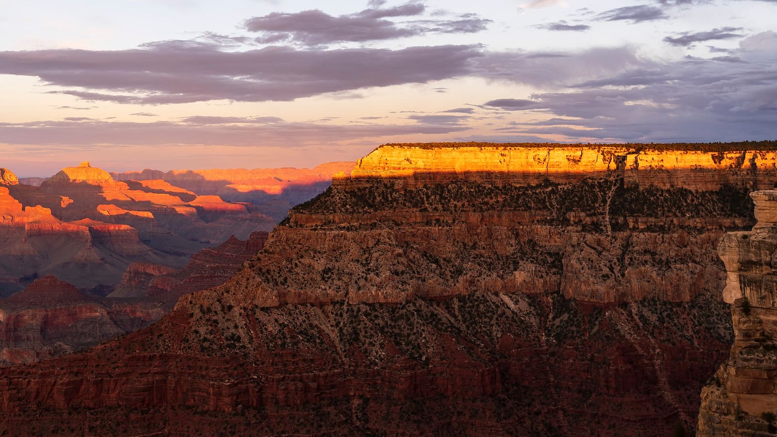
Grand Canyon South Rim (I-17 + I-40 + AZ-64)
The National Park Service puts the Grand Canyon South Rim at 231 miles from Phoenix and calls it approximately a four-hour drive, by the route it publishes: I-17 north to Flagstaff, I-40 west to Williams, then Highway 64 north to the rim. That's roughly eight hours of driving alone for a same-day round trip, on top of however long you spend at the rim itself -- a workable plan once, but a tiring one, and not something most travelers want to repeat.
Most experienced Arizona travelers instead fold the Canyon into a multi-day northern loop, overnighting near the South Rim or in Flagstaff rather than driving back to the Valley the same night. See our Phoenix-to-Grand Canyon itinerary for a route that treats it as an overnight rather than a sprint.
The Apache Trail and the Superstition Mountains (SR-88)
East of Mesa and Apache Junction, SR-88 -- known locally as the Apache Trail -- winds past the Superstition Mountains, Lost Dutchman State Park (6109 N. Apache Trail, about 40 miles east of Phoenix per Arizona State Parks), and Tortilla Flat on its way toward Roosevelt Lake. The Forest Service describes the route as a former Apache tribal route turned stagecoach road; the highway itself was built in 1904 to haul materials and workers for Roosevelt Dam, which was completed in 1911. It sits close enough to the East Valley to work as a half-day or full-day outing without a long highway approach.
Know where the pavement stops before you commit. SR-88 is paved from Apache Junction to a few miles east of Tortilla Flat; beyond that, the Fish Creek Hill stretch between mileposts 222 and 227 is an unpaved primitive road that ADOT reopened in September 2024 after the 2019 flood damage, and it is signed “CAUTION: PRIMITIVE ROAD, No trailers, 4-Wheel Drive and UTVs Only.” A 1.5-mile section at Fish Creek Vista is steep, narrow and winding along cliff edges. In a standard rental car, plan to turn around at or near Tortilla Flat; if Roosevelt Lake or Apache Lake is the destination, ADOT points drivers to SR-188 on the east side instead. Conditions change with rain and rockfall, so check az511.gov before you leave. The Superstition Mountains also carry a well-known Lost Dutchman gold mine legend -- a genuine piece of local folklore worth knowing, though the details of the legend itself vary by teller and shouldn't be treated as settled history.
Tucson: The Sonoran Desert's Other City (I-10 South)
Tucson sits roughly two hours southeast of Phoenix on I-10 -- signed as an east-west route, so you follow I-10 eastbound out of the Valley through Casa Grande -- and offers a genuinely different Sonoran Desert experience -- Saguaro National Park's dense cactus forests, a university-town energy from the University of Arizona, and a food scene distinct from the Valley's. It's a slower-paced, less resort-driven city than Phoenix.
Tucson works as a long day trip or, better, a short overnight, particularly if Saguaro National Park or the surrounding desert mountains are on your list. Because the drive is straightforward interstate, it's also one of the more predictable day trips on this list in terms of travel time.
Prescott: Territorial History (SR-69)
Prescott, founded in 1864 as Arizona's first territorial capital, sits northwest of Phoenix at an average elevation of about 5,400 feet -- above the mile mark, and noticeably cooler than the Valley. The route is I-17 north to the SR-69 interchange at Cordes Junction, which ADOT puts about 65 miles north of downtown Phoenix, then SR-69 northwest into town; figure somewhere between an hour and a half and two hours depending on where in the Valley you start. Whiskey Row and the Courthouse Plaza -- a National Register historic district whose gambling and drinking establishments gave the row its name -- anchor a walkable downtown with genuine Old West history, distinct from the Sonoran Desert scenery of the other trips on this list.
Because it's closer and cooler than a full drive to Flagstaff, Prescott is a good option specifically when you want a temperature break and some history without committing to a full northern-loop day. Check current road conditions on SR-69 during winter storms, since the higher elevation can bring snow when the Valley is dry.
Day Trip vs. Overnight: How to Decide
The simplest rule: if the one-way drive is under about two hours, like Sedona or Prescott, a day trip is genuinely comfortable. If it's closer to three or more hours each way, like the Grand Canyon, treat it as an overnight or fold it into a longer loop rather than fighting a same-day round trip. Tucson sits in between -- workable as a long day, better as a short overnight if your schedule allows it.
Whichever direction you choose, check current road conditions at az511.gov before you leave. Two hazards deserve specific planning. In winter, the northern routes climb hard -- Phoenix sits at about 1,100 feet at Sky Harbor while Flagstaff is near 7,000 -- and ADOT notes that snowstorms can make travel unsafe quickly on I-17 south of Flagstaff, so a dry Valley morning tells you nothing about conditions up top. From June 15 through September 30, the National Weather Service's fixed monsoon window, flash flooding is the single biggest storm threat in northern Arizona: never drive through a flooded wash or roadway, since 12 inches of moving water can sweep a car away and most flood deaths happen in vehicles. Arizona's A.R.S. § 28-910, the so-called Stupid Motorist Law, also makes a driver who goes around a flood barricade liable for the cost of the rescue, up to $2,000. Summer also brings serious heat exposure on the Apache Trail's unshaded stretches.