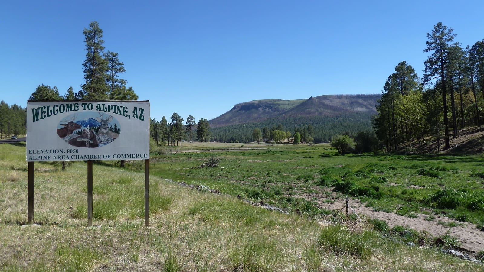
Alpine, Arizona: A High-Elevation Gateway Town
Alpine sits at 8,006 feet in Apache County, at the junction of US-180 and US-191, making it one of the highest-elevation towns in Arizona. Its 2020 census population was 146, which gives a sense of scale -- this is a genuinely small community, not a resort town, and it functions primarily as a supply point and lodging base for people heading into the surrounding national forest.
Alpine is also the northern terminus of the Coronado Trail Scenic Byway, the section of US-191 that runs roughly 120 miles south to Clifton through hundreds of switchbacks and a dramatic elevation range. For a full turn-by-turn look at that drive, see our scenic drives guide -- this page focuses on Alpine itself as a base and on Hannagan Meadow, the byway's most notable stop close to town.
Hannagan Meadow and the Blue Range Primitive Area
About 23 miles south of Alpine on US-191, Hannagan Meadow is home to Hannagan Meadow Lodge, which has operated on the Coronado Trail since 1926. Sitting at roughly 9,100 to 9,200 feet, depending on the source, it's one of the highest-elevation lodges in the state, set in genuine alpine forest and meadow rather than desert scrub.
Hannagan Meadow is also the gateway to the Blue Range Primitive Area, a 173,762-acre tract straddling Greenlee County that has held Primitive Area status since 1933 -- it's the last area in the country still carrying that specific federal designation, after the rest were converted to formal wilderness. The New Mexico portion became designated wilderness in 1980, but the Arizona side remains a Primitive Area, managed with wilderness-like restrictions on motorized and mechanized use. It's genuinely remote country, good for backpacking, hunting, and fishing on the Blue River, but not a place to wander into without preparation -- water, navigation, and self-sufficiency matter more here than on the shorter day-hikes closer to Pinetop-Lakeside.
Outdoor Recreation Around Alpine
Alpine sits inside the Apache-Sitgreaves National Forest, which manages 2.76 million acres across the Mogollon Rim and the White Mountains, with roughly 1,000 miles of trails between hiking, horseback riding, and mountain biking. The Bear Wallow Wilderness, an 11,080-acre wilderness area in neighboring Greenlee County, lists Alpine as its nearest town, and the Blue River corridor nearby offers remote fishing, camping, and wildlife-watching for visitors willing to drive unpaved forest roads.
Escudilla Mountain, Arizona's third-highest peak, is also within reach of Alpine and makes a natural day trip if you're basing here -- see our dedicated guide for trail and access details. Between Escudilla, the Blue Range, and the Coronado Trail itself, Alpine works well as a hub for a few days of genuinely remote high-country exploration rather than a single quick stop.
Practical Info: Amenities, Weather and Getting There
Amenities in Alpine are limited by design -- this is a small mountain community, not a full-service town. Expect a general store, a post office, a handful of restaurants and lodging options, and the Alpine Ranger District office for the Apache-Sitgreaves National Forests, which is the right place to ask about current trail, road, and fire conditions before heading further out. Cell service can be inconsistent once you're away from town, so plan accordingly.
The elevation drives the weather. Nights can drop below freezing even in the middle of summer, and snow is a real factor in winter, sometimes closing sections of the Coronado Trail to the south. Pack layers regardless of season, and check current road and weather conditions before a winter trip -- this is genuinely different weather than Phoenix or even Show Low, not just a slightly cooler version of the same climate.