Driving from Phoenix (I-8 West, ~185 mi)
This is the route the majority of Yuma's winter visitors actually end up driving, whether they started the trip in Phoenix or flew into Sky Harbor specifically to take it. From the Phoenix metro, you'll pick up I-10 West and then I-8 West, covering roughly 185 miles in a typical three hours outside of rush-hour traffic leaving the valley. Like the San Diego approach, this route can also pass a U.S. Border Patrol checkpoint on I-8 east of Yuma. The Yuma Sector operates checkpoints along this corridor, but their exact siting has changed in recent years, so treat a brief stop as possible rather than guaranteed and confirm nothing in advance beyond being ready to slow down.
The Gila Bend split and where to actually fuel
Gila Bend is where AZ-85 down from I-10 meets I-8 and heads southwest toward Yuma on its own. It's the last town of any real size before a long, sparse stretch of desert, and it's the sensible place to top off your tank and grab food if you didn't already before leaving the Phoenix area. Past Gila Bend, services thin out considerably until you're closer to Yuma itself.
Dateland and the roadside date-shake stop
Roughly the midpoint of the Phoenix-to-Yuma drive, Dateland is a small roadside stop built around exactly what its name suggests: date palms and date shakes. It's become something of a tradition for the I-8 crossing, and it's a reasonable place to stretch your legs before the final stretch into Yuma. If you want the fuller picture on Yuma-area date shakes and where else to find them once you're in town, see our Yuma food guide.
Timing: why the last hour matters in summer
The final stretch into Yuma is fully exposed low desert, and in summer that last hour of driving is where heat becomes a real factor rather than just an inconvenience. If you're making this drive between roughly May and September, leave early enough that you're not pushing a hot vehicle, a loaded trailer, or an unreliable AC system through the hottest part of the afternoon. Most winter visitors won't hit this problem at all — see our best time to visit Yuma guide for why the snowbird season avoids it entirely.
Driving from San Diego and the California Coast (I-8 East, ~170 mi)
San Diego to Yuma runs about 170 miles east on I-8, typically two-and-a-half to three hours. It's a more dramatic drive than the Phoenix approach, climbing out of the coastal basin and through mountain terrain before dropping into the low desert on the Arizona side.
The In-Ko-Pah grade and the descent to the desert floor
East of San Diego, I-8 climbs into the In-Ko-Pah Mountains before making a long, winding descent toward the desert floor near the California-Arizona border. It's a genuine mountain grade with sustained downhill sections and curves, not a flat freeway cruise, so give it your attention rather than treating it as background driving — especially if you're towing.
The Border Patrol checkpoint: what to expect
There's a permanent U.S. Border Patrol checkpoint on I-8 in the In-Ko-Pah Mountains area, and eastbound traffic heading toward Yuma passes through it. Expect to slow down and stop briefly; agents may ask a citizenship question or simply wave vehicles through depending on the day. Delays are typically short outside of holiday travel peaks, but it's not optional and it's worth building a few extra minutes into your timing, particularly on busy travel weekends.
Winterhaven, the state line, and the time-zone question
Winterhaven, California sits right at the state line just before you cross into Arizona and reach Yuma. This is also where the time-zone question comes up, because Arizona doesn't observe daylight saving time. In winter, Arizona runs an hour ahead of California; in summer, the two states line up on the same clock time since California springs forward and Arizona doesn't. If you're timing a drive around a specific arrival window, double-check which season you're traveling in before you do the math.
Driving from the Pacific Northwest and Points North (the Snowbird Tow)
This is the trip that looks least like the other two: it's typically a multi-day haul, often towing a fifth-wheel or travel trailer, with a route that funnels down through California or Nevada before joining I-10 and then approaching Yuma from the north or east rather than a single clean highway shot. The exact path varies by starting point, but the last one to two days almost always run through the same handful of towns.
Quartzsite vs. Gila Bend as an overnight
Quartzsite, Arizona — well known in its own right as a winter RV and gem-show town on I-10 — and Gila Bend both sit on the common approach corridors into Yuma and work as a practical overnight before the final push. Which one makes sense depends on which route you're on: Quartzsite fits better if you're coming down through Nevada or the eastern Mojave on I-10, while Gila Bend fits better if your path brings you through the Phoenix area first. Either way, splitting the drive means you're not handling Yuma's final approach, checkpoint traffic, or RV park check-in on a tired second half of a long towing day. If Quartzsite is on your route, our Quartzsite day trip guide covers the town in more detail, including what it's like once you're off the highway.
Overnighting before the final push into Yuma
Both Quartzsite and Gila Bend have RV-friendly lodging and overnight parking options, and neither requires a long detour off your route. Compare current rates before you commit, especially during the peak winter migration weeks in October and November when demand for a night's stay along this corridor rises.
Check Gila Bend & Quartzsite Hotel DealsTowing notes: grades, wind, and rig-length realities
A few things matter more when you're towing than when you're driving unencumbered. Grades on the approach corridors — including stretches of I-8 and I-10 in this region — ask more of your tow vehicle than flat interstate driving elsewhere, so budget extra time and give yourself margin rather than pushing a tight schedule. Desert wind is a real factor on the open stretches between towns; crosswinds can hit a tall trailer hard with little warning, so slow down when gusts pick up rather than fighting the wheel at highway speed. And if you're running a longer rig, double-check turn radius and parking-space length at whichever overnight stop you pick in Quartzsite or Gila Bend before you arrive rather than after.
Flying into Yuma International (YUM)
Yuma does have its own commercial airport, and for the right trip it's a genuinely convenient option. The honest picture, though, is that it's a small operation built around a much bigger neighbor.
What actually flies there
YUM's commercial schedule is limited — expect a small number of daily departures to major hub airports rather than a broad route map. Carriers and route counts change over time, so check current schedules directly with YUM or a flight-search tool before assuming a specific route is available on your travel dates rather than relying on what was true in a past season.
Sharing the field with MCAS Yuma
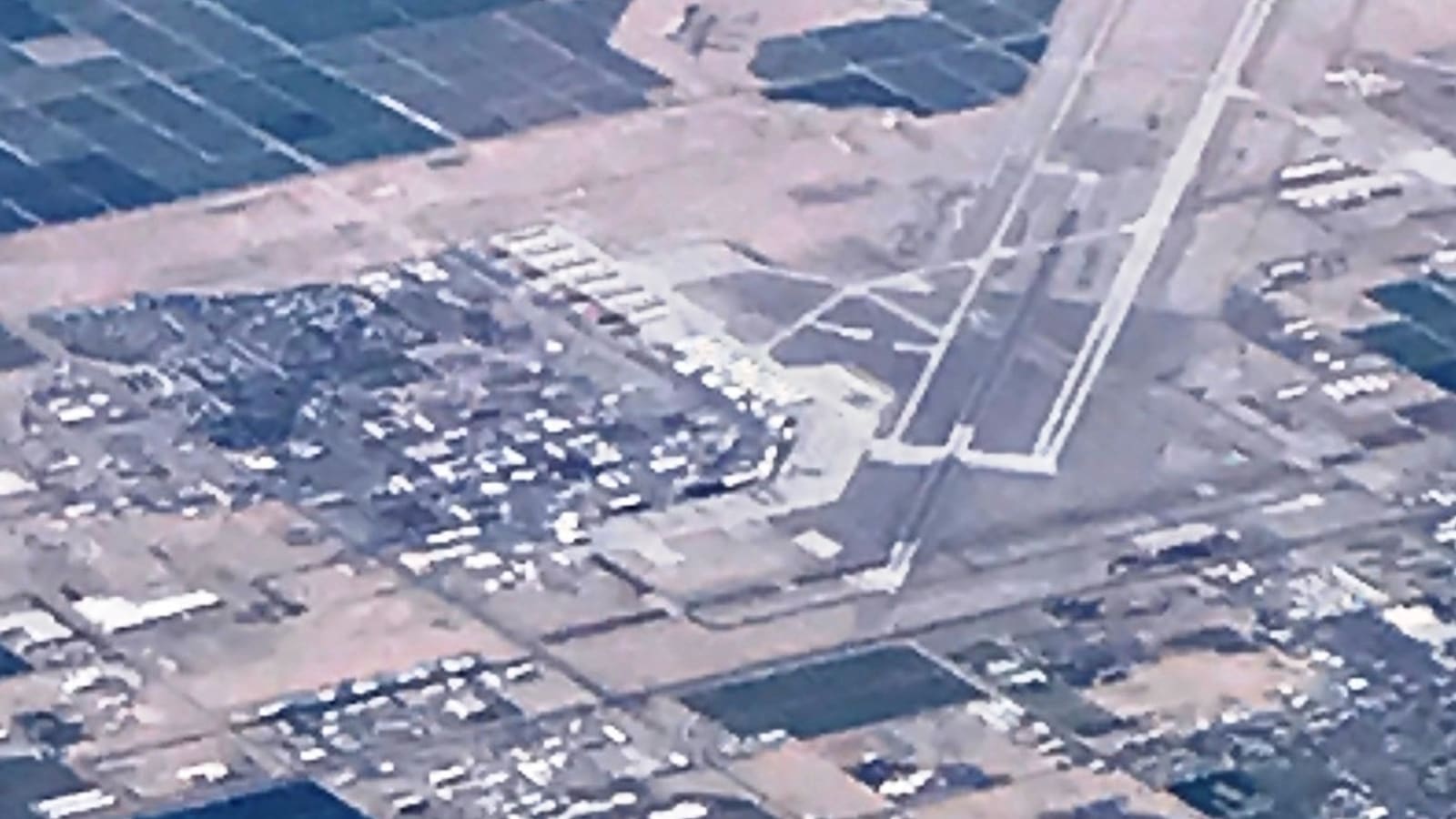
Yuma International Airport shares its runways with Marine Corps Air Station Yuma, which is the core reason the civilian schedule stays thin: commercial service is secondary to the base's own operations rather than the airport's primary function. It's a genuinely interesting arrangement and part of why the base has such a visible presence in local life — the annual MCAS Yuma Air Show draws crowds from well outside the region — but it also means YUM will never behave like a typical mid-size city airport with a full slate of daily flights.
Rental cars and getting from YUM to the Foothills
Rental counters at YUM are smaller than what you'd find at Sky Harbor, with a narrower selection and fewer vehicles on the lot, so book ahead rather than expecting to walk up and pick from a full range. From the airport, it's a short drive into central Yuma and a bit farther out to the Foothills snowbird area on the east side of town — see our Yuma neighborhood guide for how the Foothills compares to downtown and river-adjacent lodging if you're choosing where to base yourself.
Flying into YUM
YUM vs. Phoenix Sky Harbor: The Honest Comparison
An AI Overview will tell you Yuma is "about three hours from Phoenix." What it won't tell you is how the two airport options actually trade off once you factor in real door-to-door time, fare spread, and what's waiting for you at the rental counter. Here's the breakdown.
| Factor | Fly YUM Direct | Fly PHX + Drive |
|---|---|---|
| Door-to-door time | Shortest on paper, but only if a flight lines up with your schedule | Adds roughly 3 hours of driving after landing |
| Fare spread | Typically higher, with limited competition on thin routes | Typically lower, with far more route and carrier competition |
| Rental-car reality | Smaller counters, narrower selection, book ahead | Full-size rental market, broad vehicle class selection |
| Best fit | Short trips, light luggage, mobility limits, or a schedule that genuinely can't absorb extra drive time | Most winter visitors, anyone hauling gear, and anyone price-sensitive on airfare |
The one case where YUM genuinely wins: a short trip where you're not checking bags, you have mobility limits that make a three-hour drive after a flight impractical, or the time saved on the ground is worth more to you than the fare difference. For nearly everyone else — and especially for the winter-season crowd carrying golf clubs, RV gear, or a full suitcase for a multi-week stay — Phoenix plus the I-8 drive is the better math.
Getting Around Once You Arrive
Yuma has a public bus system, YCAT, that covers the main commercial corridors and connects several parts of the city, but frequency and coverage are limited compared to what you'd find in a larger metro. Rideshare exists but availability is inconsistent, especially outside downtown, the Foothills, and the main commercial strips — do not count on being able to summon a ride quickly from an RV park on the edge of town.
For practical purposes, a car is effectively required for a Yuma stay, whether it's your own vehicle, a tow vehicle you drove down, or a rental picked up at either airport. Day trips to the Imperial Sand Dunes, Kofa Refuge, and the border towns covered in our day trips guide all assume you have wheels, and most RV parks and Foothills lodging sit far enough from downtown that walking isn't realistic for daily errands.
Methodology
Route distances and landmarks on this page — Gila Bend, Dateland, the In-Ko-Pah grade, the I-8 checkpoint, Winterhaven, and YUM's shared-runway arrangement with MCAS Yuma — come from repeated in-person drives of the I-8 corridor between Phoenix, San Diego, and Yuma across winter seasons. We deliberately avoid stating specific flight schedules, fares, or rental-car brands here, since those change constantly; confirm current details directly with airlines, YUM, or a flight-search tool before booking. This page is reviewed and re-verified each year ahead of the fall snowbird planning window.