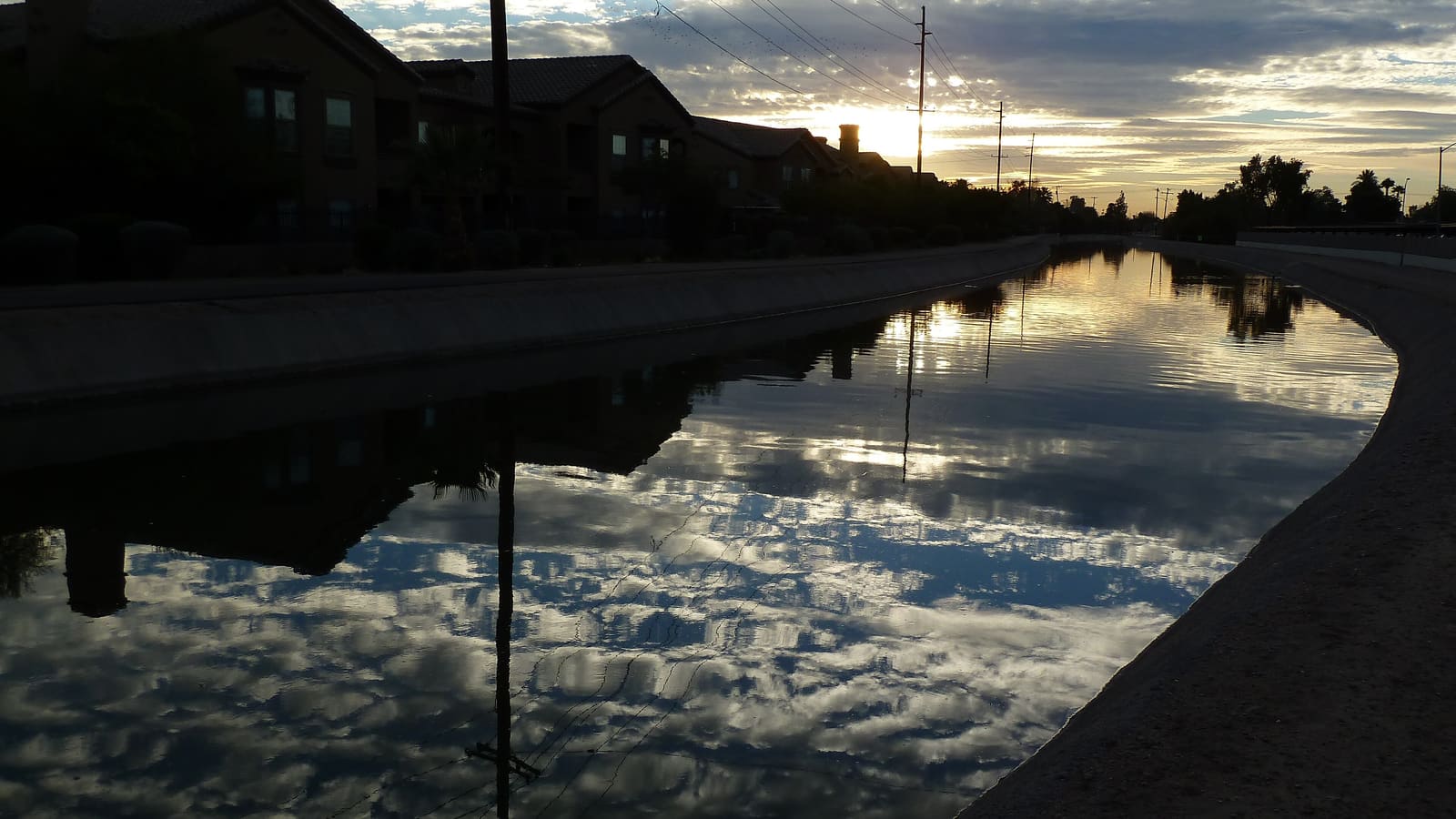
The Canal Path System: Phoenix's Quiet Backbone for Biking
Phoenix's network of irrigation canals — descendants, in a sense, of the same waterways the Hohokam first engineered in this valley — do double duty as a citywide system of shared-use paths. Multi-use paths run alongside major canals like the Arizona Canal and the Grand Canal, cutting across the city in mostly straight, flat lines that make for easy, low-stress riding compared to sharing a road with car traffic. Because the paths follow canal alignments rather than existing streets, they often provide a more direct and quieter route between neighborhoods than the parallel roads above them.
Surface and shade vary by segment — some stretches run under mature trees near older neighborhoods, while others cross open ground with little natural cover — so it's worth checking a current canal-path map before committing to a long ride, particularly in warmer months when shade matters more.
Rio Salado and the Tempe Town Lake Corridor
Along the Salt River corridor near the Tempe border, the Rio Salado path system offers one of the more scenic paved rides in the Valley, running near restored riverbed habitat and connecting toward the Tempe Town Lake path loop just across the city line. It's a popular stretch for both commuting cyclists and casual riders, flat enough for beginners but long enough to make a satisfying ride if you're looking to cover real distance.
This corridor is also one of the better-connected parts of the Valley's bike network, linking toward Tempe's paths and giving you a natural route if you're staying in Phoenix but want to ride out toward Tempe Town Lake for a change of scenery.
South Mountain Park: Biking With Elevation
If flat canal paths aren't enough of a workout, South Mountain Park on the city's south side offers a very different kind of ride — a genuine desert mountain range within city limits, with trails that climb, wind through rock formations, and require real mountain-biking skill and a properly equipped bike rather than a cruiser. It's one of the largest municipal parks in the country, and its trail network draws mountain bikers looking for technical desert riding without leaving the metro area. See our South Mountain Park guide for a fuller look at the park's trails and what to expect on foot or on two wheels.
Because South Mountain has real elevation gain and technical terrain, it's a step up in difficulty and heat exposure compared to the canal paths — treat it with the same early-morning planning you'd use for a hike here, especially outside the cooler months.
How Bike-Friendly Is the Valley, Really?
Beyond the canal paths and South Mountain, Phoenix has been steadily building out bike lanes and dedicated infrastructure on city streets, though coverage is uneven — some corridors have protected or buffered lanes, while others still mean riding alongside regular traffic. If you're combining biking with other transportation, Valley Metro's light rail generally accommodates bikes, which can be a useful way to skip a less bike-friendly stretch of the city. Our Getting Around Phoenix guide covers the light rail system and other transportation basics in more detail.
Bike shops around the Valley typically offer rentals if you're visiting without your own bike, and renting locally is usually easier than trying to bring one on a flight — check availability and options in the neighborhood where you're staying.
Timing a Ride Around the Heat
The same heat rules that govern hiking in Phoenix apply to biking, arguably more so, since sustained physical effort in direct sun raises your risk faster than a casual walk does. From roughly May through September, plan rides for the earliest part of the morning and carry more water than you think you'll need. From October through April, riding conditions are close to ideal at almost any hour, which is a big part of why the Valley's bike paths see their heaviest use during the cooler months.