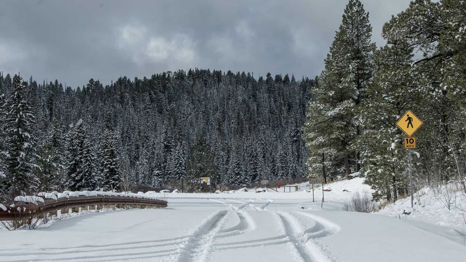
The TRACKS Trail System
The TRACKS trail system near Pinetop-Lakeside is the region's dedicated multi-use trail network and the natural starting point for mountain biking here. It was built to serve hikers, mountain bikers, and other trail users on a shared network rather than as a single marquee ride, which means the experience varies by which section of trail you choose and how it connects to the rest of the network. Trail conditions, signage, and maintenance status can change between seasons and after storm damage, so checking current trail status — through the Apache-Sitgreaves National Forests or local visitor information in Pinetop-Lakeside — before a trip is worth the few minutes it takes, especially if you're planning a specific route rather than an open exploration.
Because TRACKS is multi-use, riders share trail with hikers and sometimes equestrians, and trail etiquette matters more here than on a bike-only network: yielding appropriately, controlling speed on blind corners, and being ready to stop for other trail users are basic expectations rather than suggestions.
Forest Roads as Riding Terrain
Beyond the dedicated trail system, the Apache-Sitgreaves National Forests contain an extensive network of forest roads that many riders use for longer rides, route-building, or simply exploring beyond the marked trail network. Forest roads vary enormously in surface and difficulty, from smooth, well-graded gravel to rutted, rocky, or washed-out tracks that are difficult even for a capable mountain bike. Road conditions also change seasonally — spring mud, monsoon-season washouts, and general lack of maintenance on less-traveled routes are all realistic possibilities. A forest road that was in good shape last season is not a guarantee of the same condition this trip, so building in some flexibility, and checking current conditions before committing to a specific long-distance route, is the sensible approach.
Riding forest roads also means riding in genuinely remote country with inconsistent cell coverage, which raises the stakes of a mechanical failure or injury well above what a rider would face on an urban greenway. Carrying basic repair tools, extra water, and a way to signal for help, along with telling someone your planned route, is worth treating as standard practice rather than optional caution.
Elevation and Fitness Considerations
Most of the region's riding happens at elevations of 7,000 feet or higher, and that altitude has a real, measurable effect on cardiovascular effort for visitors who live at lower elevations, including most of the Phoenix Valley and much of the rest of Arizona and beyond. Riders who are fit at sea level or at moderate elevation can still find themselves breathing harder and tiring faster than expected on their first day or two at this altitude. The practical response is to start conservatively — a shorter or easier ride on the first day, more water than usual, and paying attention to symptoms like unusual shortness of breath, headache, or dizziness that can indicate altitude is affecting you more than expected. Riders with underlying heart or lung conditions should factor elevation into their planning and consult a doctor beforehand if there's any doubt.
Best Season for Riding
Riding conditions vary through the year in ways that are worth planning around rather than assuming. Summer offers the coolest temperatures relative to the rest of Arizona, which is a major part of the region's appeal as a warm-weather escape, but summer also falls within the monsoon season defined by the National Weather Service as June 15 through September 30, bringing a real afternoon thunderstorm pattern. Fall generally offers stable, cooler weather with less storm risk, though nights get cold as the season progresses; see the fall colors guide for a fuller picture of that shoulder season. Spring can bring lingering snow at higher elevations and muddy trail and forest road conditions during snowmelt; the region's mud season is a real constraint on early-season riding. There is no single best month that holds true every year, since conditions depend on that year's specific weather, so checking current trail and weather conditions close to your trip date is more reliable than planning around a generic calendar.
Monsoon Lightning: A Real Hazard
Afternoon thunderstorms during the monsoon season are not a minor weather inconvenience for backcountry riders — lightning is a genuine hazard at elevation, and open ridgelines or exposed forest roads offer little protection. The typical pattern during monsoon season is clear or partly cloudy mornings with storms building through the afternoon, which is why an early start and a plan to be off exposed terrain by early-to-mid afternoon is standard advice for anyone riding, hiking, or otherwise recreating outdoors in the region during that period. Checking the day's forecast before heading out, and turning back at the first sign of building storm clouds rather than trying to outlast them, is a far better strategy than getting caught remote and exposed when a storm arrives.
Gear and Trip Preparation
A White Mountains mountain biking trip benefits from preparation aimed at remoteness and elevation rather than just the trail itself: more water than you'd carry for a similar ride at lower elevation, a basic repair kit and the knowledge to use it, sun protection even on a cool day given the elevation's stronger UV exposure, and layers for temperature swings between morning and afternoon. A paper map or downloaded offline map is a reasonable backup given inconsistent cell service on many forest roads. Riders new to the region often do well starting with a known section of the TRACKS system before extending into forest-road exploration, building familiarity with local conditions before committing to a longer, more remote route.