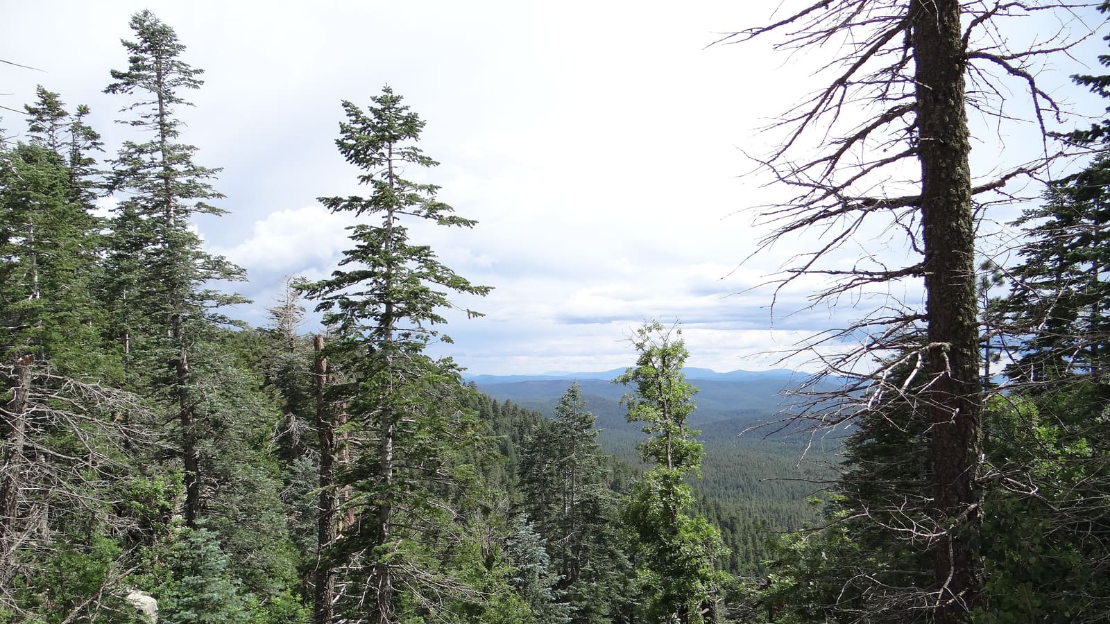
What the Rim Is
The Mogollon Rim is a steep escarpment that stretches across central Arizona. It is the southern edge of the Colorado Plateau, where high forested country drops down toward the lower desert. Commonly cited descriptions put the Rim at about 200 miles long, though the exact figure depends on where you decide it begins and ends.
The name honors Juan Ignacio Flores Mogollon, a Spanish governor of New Mexico in the early 1700s. The word is often pronounced "muggy-yone" locally, which surprises first-time visitors. On many stretches the top of the escarpment is capped with pale limestone, which is why the rim edge can look light-colored against the forest.
How It Connects to the White Mountains
The Rim is not the White Mountains, but it shapes the way you reach them. Drivers coming from the Valley on Arizona Highway 260 climb up onto the plateau and enter the Ponderosa pine belt that continues toward Show Low and Pinetop. That is the same forest that surrounds the towns in our Pinetop-Lakeside guide and Show Low guide.
Temperatures usually drop as you gain elevation, which is a large part of why the region is a summer escape for desert residents. Our summer escape guide explains how that plays out in practice.
Things to Do Near the Rim
Visitors typically use the Rim country for a mix of activities, each with its own rules:
- Scenic stops at viewpoints along forest roads, where the land falls away to the south.
- Fishing and paddling on lakes in the Rim country. Check state license requirements and local rules.
- Camping in national forest campgrounds, many of which are seasonal and may require reservations.
- Fall color drives, when aspens and oaks put on a show at certain elevations.
Forest roads can be rough, narrow, or closed by weather. Check current conditions with the national forest that manages the area before you set out, and carry a map that works without cell service. The lakes guide and camping guide cover the White Mountains side in more detail.
Safety and Respect for the Forest
Fire restrictions can apply in dry months and may change quickly, so check before you plan a campfire or any outdoor cooking. Monsoon thunderstorms in summer can bring lightning and flash flooding, so keep an eye on the sky if you are on a trail or near a drainage. Leave no trace, and respect closures, which protect both land and visitors.
Where to Go Next
If the Rim makes you want to keep exploring, the fall colors guide and the White Mountains hub point toward the rest of the high country. For a longer drive, see the Coronado Trail guide.